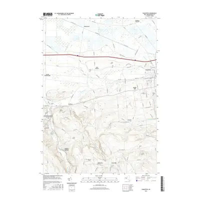
2016 Map of Canastota
USGS Topo · Published 2016About this map
Chittenango and Canastota serve as the primary hubs in this part of Madison County, where the landscape transitions from the developed corridor along the northern flatlands to the rising elevations of the southern hills. The influence of drainage is evident in the series of ditches, such as Ditch Bank Rd near Oniontown, which manage the low-lying terrain north of the settlements. Further south, the topography grows more complex around Cranson Hill and Lillies Pinnacle, where the N Country National Scenic Trail winds through the woods.
Find a feature on this map
122 named features on this map. Tap any name to fly to it.
Don’t see what you’re looking for? This feature index may not catch every label — zoom into the map to look around manually.
Map Details
Editions of this 2016 Canastota Map
This is the sole edition of this map. No revisions or reprints were ever made.
Other maps of this area

1895 · Chittenango
USGS Topo · 1:62,500

1895 · Oneida
USGS Topo · 1:62,500

1897 · Cazenovia
USGS Topo · 1:62,500

1898 · Oneida
USGS Topo · 1:62,500

1898 · Chittenango
USGS Topo · 1:62,500

1899 · Cazenovia
USGS Topo · 1:62,500

1902 · Chittenango
USGS Topo · 1:62,500

1902 · Morrisville
USGS Topo · 1:62,500

1902 · Oneida
USGS Topo · 1:62,500

1939 · Oneida
USGS Topo · 1:62,500