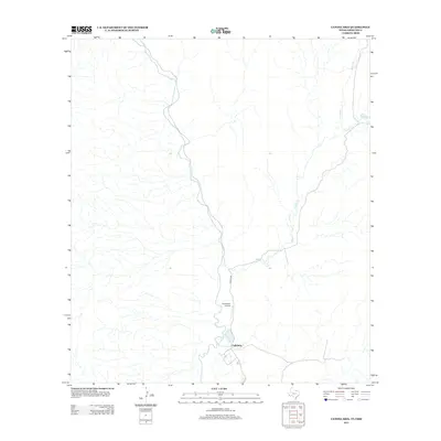
2012 Map of Candelaria
USGS Topo · Published 2012About this map
Cadelaria stands at the edge of this Chihuahuan Desert landscape, situated near the winding course of the Rio Grande along the international border. This 2012 survey illustrates the isolated character of Presidio County, where transportation is defined by the thin line of Co Hwy 170 and the local Candelaria Airport. The drainage patterns of the high desert are etched into the terrain through intermittent waterways like Capote Cr and Walker Cr, which cut through the arid flats toward the river valley. The map documents the persistent but sparse footprint of human infrastructure in one of the most distant reaches of West Texas.
Find a feature on this map
5 named features on this map. Tap any name to fly to it.
Don’t see what you’re looking for? This feature index may not catch every label — zoom into the map to look around manually.
Map Details
Editions of this 2012 Candelaria Map
This is the sole edition of this map. No revisions or reprints were ever made.
Other maps of this area

1896 · San Carlos
USGS Topo · 1:125,000

1959 · Marfa
USGS Topo · 1:250,000

1965 · Marfa
USGS Topo · 1:250,000
1978 · Capote Peak
USGS Topo · 1:24,000

1979 · Ruidosa Hot Springs
USGS Topo · 1:24,000

1979 · Capote Falls
USGS Topo · 1:24,000
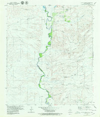
1979 · Candelaria
USGS Topo · 1:24,000
1979 · McCutchen Ranch
USGS Topo · 1:24,000
1979 · Pueblo Nuevo
USGS Topo · 1:24,000
1979 · McComb Canyon
USGS Topo · 1:24,000