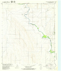
1979 Map of McCutchen Ranch
USGS Topo · Published 1979About this map
The Rio Grande Rio Bravo carves a winding path along the international border in this 1970s survey, anchoring a remote landscape where water and terrain dictate life. Small settlements like Buenavista and the Mc Cutchen Ranch appear near the river’s edge, while the higher elevations of the Sierra Los Fresnos dominate the western horizon. This map captures a specific moment in border history, documented shortly after the International Boundary and Water Commission's Treaty of 1970 revised the line.
Find a feature on this map
24 named features on this map. Tap any name to fly to it.
Don’t see what you’re looking for? This feature index may not catch every label — zoom into the map to look around manually.
Map Details
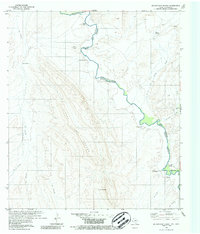
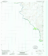
Editions of this 1979 McCutchen Ranch Map
3 editions found
Other maps of this area

1896 · San Carlos
USGS Topo · 1:125,000

1959 · Marfa
USGS Topo · 1:250,000

1965 · Marfa
USGS Topo · 1:250,000
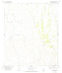
1978 · Gettysburg Peak
USGS Topo · 1:24,000
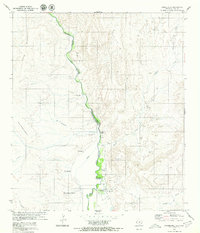
1979 · Candelaria
USGS Topo · 1:24,000
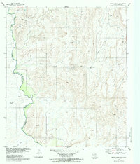
1979 · Quinn Creek
USGS Topo · 1:24,000
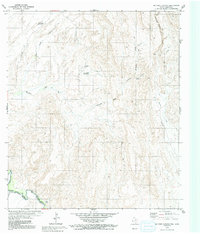
1979 · McComb Canyon
USGS Topo · 1:24,000
1985 · Marfa
USGS Topo · 1:100,000
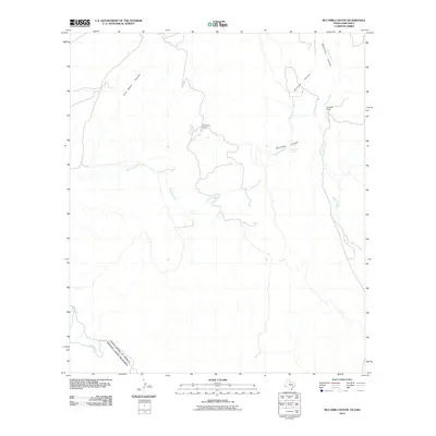
2010 · McComb Canyon
USGS Topo · 1:24,000
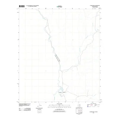
2010 · Candelaria
USGS Topo · 1:24,000