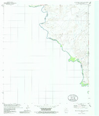
1979 Map of McCutchen Ranch
USGS Topo · Published 1985About this map
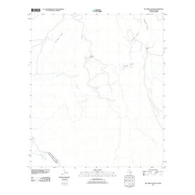
Rio Grande (also labeled Rio Bravo) meanders through this borderland quadrangle in Presidio Co, defining the international boundary between Chihuahua and Texas. The landscape is characterized by intermittent drainages like San Carlos Creek and Mc Comb Creek that cut through the desert terrain toward the river. Human presence is sparse, marked primarily by the Mc Cutchen Ranch and the settlement at El Campo De La Ventana. This 1970s survey reflects a period of modern border management, with the international line established according to the Treaty of November 23, 1970. Significant water sources in this arid environment are noted at Widow Spring and an additional Spring to the north, which historically served as vital nodes for local ranching and travel between the river and the inland hills.
Find a feature on this map
12 named features on this map. Tap any name to fly to it.
Don’t see what you’re looking for? This feature index may not catch every label — zoom into the map to look around manually.
Map Details
Editions of this 1979 McCutchen Ranch Map
3 editions found
Other maps of this area

1896 · San Carlos
USGS Topo · 1:125,000

1959 · Marfa
USGS Topo · 1:250,000

1965 · Marfa
USGS Topo · 1:250,000
1978 · Gettysburg Peak
USGS Topo · 1:24,000
1979 · Candelaria
USGS Topo · 1:24,000
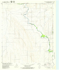
1979 · McCutchen Ranch
USGS Topo · 1:24,000
1979 · Quinn Creek
USGS Topo · 1:24,000
1979 · McComb Canyon
USGS Topo · 1:24,000
1985 · Marfa
USGS Topo · 1:100,000
2010 · McComb Canyon
USGS Topo · 1:24,000