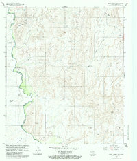
1979 Map of Quinn Creek
USGS Topo · Published 1979About this map
The Rio Bravo Grande defines the international boundary between Presidio County and the Mexican state of Chihuahua in this late-1970s record. The settlement of Pilares sits near a bend in the river, adjacent to the Aeropista (Abandonada) and a local Cementerio. Away from the river, the landscape is marked by remote ranching and grazing infrastructure, including the Sanchez Ranch, Tres Hermanos, and Snyder. Water management is critical in this arid environment, shown through scattered resources like Quinn Springs, Sitter Spring, and the Soldier Windmill. The map also captures several industrial and navigational markers, from a Mine and various Prospect sites to a Landing Strip and numerous Jeep Trails that connect the canyon lands to the higher elevations of the Mesa.
Find a feature on this map
27 named features on this map. Tap any name to fly to it.
Don’t see what you’re looking for? This feature index may not catch every label — zoom into the map to look around manually.
Map Details
Editions of this 1979 Quinn Creek Map
2 editions found
Other maps of this area

1892 · Chispa
USGS Topo · 1:125,000

1895 · Chispa
USGS Topo · 1:125,000

1896 · San Carlos
USGS Topo · 1:125,000

1897 · Chispa
USGS Topo · 1:125,000

1959 · Marfa
USGS Topo · 1:250,000

1965 · Marfa
USGS Topo · 1:250,000
1972 · Soldier Spring
USGS Topo · 1:24,000
1972 · Bennett Ranch
USGS Topo · 1:24,000
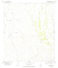
1978 · Gettysburg Peak
USGS Topo · 1:24,000
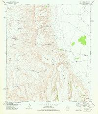
1978 · Vieja Pass
USGS Topo · 1:24,000