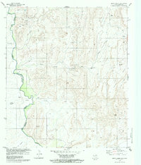
1979 Map of Quinn Creek
USGS Topo · Published 1980About this map
Rio Bravo Grande marks the international boundary in this 1970s study of the desert landscape where Presidio Co, Texas, meets Chihuahua, Mexico. The settlement of Pilares and the nearby Sanchez Ranch anchor the riverbank, supported by a network of essential water sources including Soldier Windmill and Quinn Mesa Windmill. The presence of an Aeropista (Abandonada) and numerous Jeep Trails suggests a remote frontier environment where transportation was often specialized.
Find a feature on this map
25 named features on this map. Tap any name to fly to it.
Don’t see what you’re looking for? This feature index may not catch every label — zoom into the map to look around manually.
Map Details
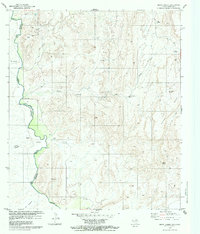
Editions of this 1979 Quinn Creek Map
2 editions found
Other maps of this area

1892 · Chispa
USGS Topo · 1:125,000

1895 · Chispa
USGS Topo · 1:125,000

1896 · San Carlos
USGS Topo · 1:125,000

1897 · Chispa
USGS Topo · 1:125,000

1959 · Marfa
USGS Topo · 1:250,000

1965 · Marfa
USGS Topo · 1:250,000
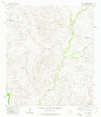
1972 · Soldier Spring
USGS Topo · 1:24,000
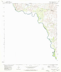
1972 · Bennett Ranch
USGS Topo · 1:24,000
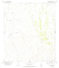
1978 · Gettysburg Peak
USGS Topo · 1:24,000
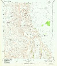
1978 · Vieja Pass
USGS Topo · 1:24,000