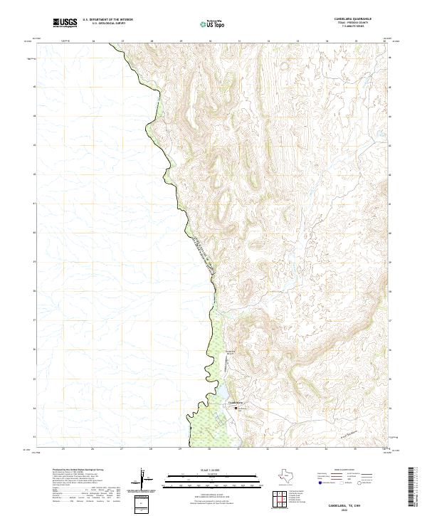
2022 Map of Candelaria
USGS Topo · Published 2022About this map
Candelaria sits on the edge of the Chihuahuan Desert along the Rio Grande, serving as a remote border community where the international boundary between the United States of America and Mexico is defined by the river's winding course. This modern topographic record shows the settlement's infrastructure, including the Candelaria Airport and the local Candelaria Cem, which provide essential touchpoints for genealogical research in this isolated portion of Presidio County. The landscape is defined by its drainage systems, with the Arroyo Palo Blanco cutting through the southern terrain while Capote Cr and Walker Cr feed toward the river valley. Transportation is centered on F.M. 170, which follows the river's path through this high-desert environment.
Find a feature on this map
9 named features on this map. Tap any name to fly to it.
Don’t see what you’re looking for? This feature index may not catch every label — zoom into the map to look around manually.
Map Details
Editions of this 2022 Candelaria Map
This is the sole edition of this map. No revisions or reprints were ever made.
Other maps of this area

1896 · San Carlos
USGS Topo · 1:125,000

1959 · Marfa
USGS Topo · 1:250,000

1965 · Marfa
USGS Topo · 1:250,000
1978 · Capote Peak
USGS Topo · 1:24,000

1979 · Ruidosa Hot Springs
USGS Topo · 1:24,000

1979 · Capote Falls
USGS Topo · 1:24,000
1979 · Candelaria
USGS Topo · 1:24,000
1979 · McCutchen Ranch
USGS Topo · 1:24,000
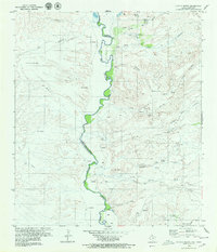
1979 · Pueblo Nuevo
USGS Topo · 1:24,000
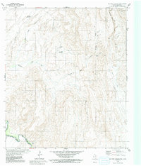
1979 · McComb Canyon
USGS Topo · 1:24,000