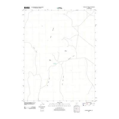
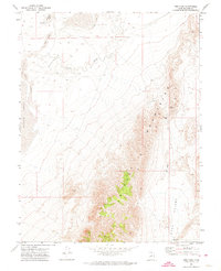
2010 Map of Candland Spring
USGS Topo · Published 2010About this map
Iron Basin and the surrounding high desert of Millard County are defined by critical water sources and striking geological formations in this 2010 survey. The landscape is shaped by the Cricket Mountains to the west, which give way to the vast expanse of Big Sage Valley and Little Sage Valley. These valleys are interrupted by distinct peaks like Poison Mountain and carved by drainages including Filmore Canyon and Broadmouth Canyon. Settlement in this arid region is historically tied to the few available water points. Remote features such as Candland Spring, Cricket Seeps, and the man-made Big Sage Reservoir are essential landmarks for land management and local history. The network of primitive roads and trails shown here illustrates the isolated nature of the basin, primarily used for ranching or resource access in the early 21st century.
Find a feature on this map
10 named features on this map. Tap any name to fly to it.
Don’t see what you’re looking for? This feature index may not catch every label — zoom into the map to look around manually.
Map Details
Editions of this 2010 Candland Spring Map
This is the sole edition of this map. No revisions or reprints were ever made.
Other maps of this area
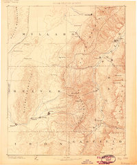
1885 · Beaver
USGS Topo · 1:250,000
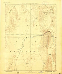
1885 · Sevier Desert
USGS Topo · 1:250,000
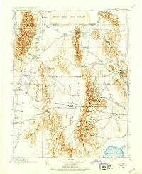
1908 · Fish Springs
USGS Topo · 1:250,000
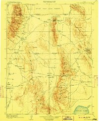
1910 · Fish Springs
USGS Topo · 1:250,000

1953 · Richfield
USGS Topo · 1:250,000
1953 · Delta
USGS Topo · 1:250,000

1958 · Richfield
USGS Topo · 1:250,000
1958 · Delta
USGS Topo · 1:250,000
1962 · Delta
USGS Topo · 1:250,000
1971 · Red Pass
USGS Topo · 1:24,000