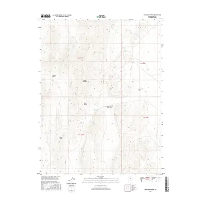
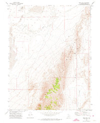
2017 Map of Candland Spring
USGS Topo · Published 2017About this map
Iron Basin serves as a focal point within the high-desert landscape of Millard County, situated between the prominent Cricket Mountains and the rising slopes of Poison Mtn. This modern survey by the U.S. Geological Survey details a region defined by its critical water sources and drainage patterns, including Candland Spring, Cricket Seeps, and the Big Sage Reservoir. The topography is marked by deep incisions like Broadmouth Canyon and Fillmore Canyon, which channel seasonal runoff into the Fillmore Wash. While largely uninhabited, the area is connected by rural routes such as S 24300 W St and the UP Rd, reflecting the sparse but essential infrastructure required to navigate the transitions between Little Sage Valley and the surrounding peaks.
Find a feature on this map
17 named features on this map. Tap any name to fly to it.
Don’t see what you’re looking for? This feature index may not catch every label — zoom into the map to look around manually.
Map Details
Editions of this 2017 Candland Spring Map
This is the sole edition of this map. No revisions or reprints were ever made.
Other maps of this area
1885 · Beaver
USGS Topo · 1:250,000

1885 · Sevier Desert
USGS Topo · 1:250,000
1908 · Fish Springs
USGS Topo · 1:250,000
1910 · Fish Springs
USGS Topo · 1:250,000

1953 · Richfield
USGS Topo · 1:250,000

1953 · Delta
USGS Topo · 1:250,000

1958 · Richfield
USGS Topo · 1:250,000

1958 · Delta
USGS Topo · 1:250,000

1962 · Delta
USGS Topo · 1:250,000
1971 · Red Pass
USGS Topo · 1:24,000