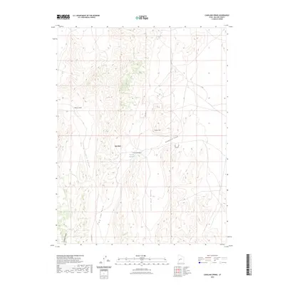
2023 Map of Candland Spring
USGS Topo · Published 2023About this map
The Cricket Mountains define this landscape in Millard County, characterized by a series of parallel valleys and dramatic elevation shifts. The terrain is marked by distinctive formations such as the Cricket Steps and Poison Mtn, while the interior provides natural catchment areas like the Iron Basin. Water management in this arid environment is evidenced by Candland Spring and the Big Sage Reservoir, which sit amidst a network of drainage features including Broadmouth Canyon and Fillmore Wash. A primitive road network, including the Up Rd and Big Sage Valley Rd, navigates between the expansive Big Sage Valley and the smaller Little Sage Valley, illustrating the land-use patterns of the high desert basin.
Find a feature on this map
15 named features on this map. Tap any name to fly to it.
Don’t see what you’re looking for? This feature index may not catch every label — zoom into the map to look around manually.
Map Details
Editions of this 2023 Candland Spring Map
This is the sole edition of this map. No revisions or reprints were ever made.
Other maps of this area

1885 · Beaver
USGS Topo · 1:250,000

1885 · Sevier Desert
USGS Topo · 1:250,000

1908 · Fish Springs
USGS Topo · 1:250,000

1910 · Fish Springs
USGS Topo · 1:250,000

1953 · Richfield
USGS Topo · 1:250,000

1953 · Delta
USGS Topo · 1:250,000

1958 · Richfield
USGS Topo · 1:250,000

1958 · Delta
USGS Topo · 1:250,000

1962 · Delta
USGS Topo · 1:250,000

1971 · Red Pass
USGS Topo · 1:24,000