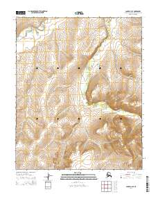
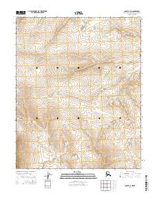
2014 Map of Candle C-4 SE
USGS Topo · Published 2014About this map
The W Fork Buckland River meanders across the northwestern corner of this remote Alaskan terrain, illustrating the hydrologic patterns within the Northwest Arctic Borough. The landscape is defined by its topographic relief, with elevations rising from the river valley toward the south and east. The Public Land Survey System grid provides the primary structural framework for the area, delineating the boundaries of Townships 1 through 3 North and Ranges 9 through 10 West. This survey captures a moment in the early 21st century when the region remained largely undeveloped, characterized by its natural drainage systems and the absence of established road infrastructure or permanent settlements.
Find a feature on this map
7 named features on this map. Tap any name to fly to it.
Don’t see what you’re looking for? This feature index may not catch every label — zoom into the map to look around manually.
Map Details
Editions of this 2014 Candle C-4 SE Map
This is the sole edition of this map. No revisions or reprints were ever made.
Other maps of this area

1951 · Candle
USGS Topo · 1:250,000

1955 · Candle
USGS Topo · 1:250,000

1955 · Candle B-3
USGS Topo · 1:63,360

1955 · Candle C-4
USGS Topo · 1:63,360

1955 · Candle C-3
USGS Topo · 1:63,360
1955 · Candle B-4
USGS Topo · 1:63,360

1964 · Candle
USGS Topo · 1:250,000
2014 · Candle C-4 NE
USGS Topo · 1:25,000
2014 · Candle C-3 NW
USGS Topo · 1:25,000
2014 · Candle C-4 NW
USGS Topo · 1:25,000