
1955 Map of Candle C-3
USGS Topo · Published 1966About this map
The Buckland River meanders through the northeast corner of this mid-century topographic study, defining the primary drainage for the surrounding highlands. Surveyed in the 1950s using photogrammetric methods from aerial photography, the map reveals a remote landscape of significant relief, where deep valleys are carved by watercourses like Masukatalik Creek and Flakluk Creek. This area of the Kateel River Meridian was largely unsurveyed at the time of the 1955 field annotation, with land lines representing predetermined but unmarked locations according to the Bureau of Land Management. The terrain is characterized by a complex network of tributaries, including Kaluayik Creek and Dachik Creek, which flow through unnamed ridges. This record is a clear representation of the region before modern development, focusing entirely on the natural hydrography and elevation markers that guided early Alaskan land management and resource exploration.
Find a feature on this map
6 named features on this map. Tap any name to fly to it.
Don’t see what you’re looking for? This feature index may not catch every label — zoom into the map to look around manually.
Map Details
Editions of this 1955 Candle C-3 Map
This is the sole edition of this map. No revisions or reprints were ever made.
Other maps of this area

1951 · Candle
USGS Topo · 1:250,000

1954 · Candle C-2
USGS Topo · 1:63,360

1954 · Candle B-2
USGS Topo · 1:63,360

1954 · Candle D-2
USGS Topo · 1:63,360

1955 · Candle
USGS Topo · 1:250,000

1955 · Candle B-3
USGS Topo · 1:63,360

1955 · Candle D-4
USGS Topo · 1:63,360

1955 · Candle C-4
USGS Topo · 1:63,360
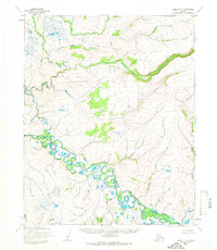
1955 · Candle D-3
USGS Topo · 1:63,360
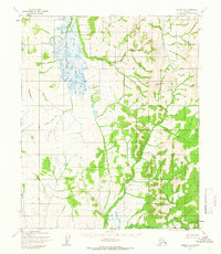
1955 · Candle B-4
USGS Topo · 1:63,360