
1955 Map of Candle C-4
USGS Topo · Published 1966About this map
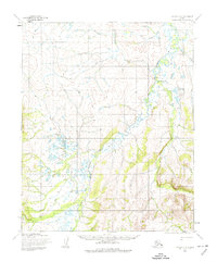
The Buckland River and its meandering tributaries dominate this mid-century topographic study of a remote Alaska landscape. Mapped by the Army Map Service using aerial photography from 1955, the landscape is defined by vast drainage systems including the West Fork Buckland River and smaller streams like Goose Creek and Bear Creek. Human presence is sparse, indicated only by small, unnamed Cabins and a singular Cabin near the southern margin.
Find a feature on this map
9 named features on this map. Tap any name to fly to it.
Don’t see what you’re looking for? This feature index may not catch every label — zoom into the map to look around manually.
Map Details
Editions of this 1955 Candle C-4 Map
2 editions found
Other maps of this area

1950 · Candle C-5
USGS Topo · 1:63,360

1950 · Candle B-5
USGS Topo · 1:63,360

1951 · Candle
USGS Topo · 1:250,000

1951 · Candle D-5
USGS Topo · 1:63,360

1955 · Candle
USGS Topo · 1:250,000

1955 · Candle B-3
USGS Topo · 1:63,360

1955 · Candle D-4
USGS Topo · 1:63,360

1955 · Candle C-3
USGS Topo · 1:63,360
1955 · Candle D-3
USGS Topo · 1:63,360
1955 · Candle B-4
USGS Topo · 1:63,360