
1950 Map of Candle C-5
USGS Topo · Published 1956About this map
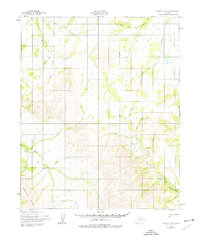
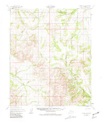
Fairhaven Creek and its many tributaries carve through this interior Alaskan landscape, which was documented using aerial photography from the late 1940s. The absence of permanent towns highlights the seasonal and industrial nature of the region during this era. Traceable transit is limited to a Tractor Trail that winds along Quartz Creek and Buck Creek, suggesting a corridor for mining or freighting activity. Remnants of human presence are sparse, marked only by isolated Cabins and a Landing Strip near the confluence of Hunter Creek and its Left Fork. The terrain is punctuated by significant elevations such as Sugar Loaf, which overlooks Sugar Loaf Creek. The network of drainages, including Kikulikpuk Creek and Sheridan Creek, defines the local geography, providing a baseline for understanding mid-century land use in the Northwest Arctic before modern infrastructure expanded.
Find a feature on this map
24 named features on this map. Tap any name to fly to it.
Don’t see what you’re looking for? This feature index may not catch every label — zoom into the map to look around manually.
Map Details
Editions of this 1950 Candle C-5 Map
3 editions found
Other maps of this area

1950 · Candle B-5
USGS Topo · 1:63,360

1950 · Candle B-6
USGS Topo · 1:63,360

1950 · Candle C-6
USGS Topo · 1:63,360

1951 · Candle
USGS Topo · 1:250,000

1951 · Candle D-5
USGS Topo · 1:63,360

1951 · Candle D-6
USGS Topo · 1:63,360

1955 · Candle
USGS Topo · 1:250,000

1955 · Candle D-4
USGS Topo · 1:63,360

1955 · Candle C-4
USGS Topo · 1:63,360
1955 · Candle B-4
USGS Topo · 1:63,360