
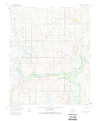
1955 Map of Candle D-4
USGS Topo · Published 1966About this map
The Buckland River carves a winding path across this portion of Alaska, its wide oxbows and surrounding wetlands defining the landscape during this 1955 survey. The river's meanders create a complex network of marshes and smaller tributaries, including the Kikikuk River, which flows into the main channel from the south. This terrain represents the remote interior of the Northwest Arctic before modern development, where the primary signs of human presence are isolated Cabins located near the riverbanks.
Find a feature on this map
7 named features on this map. Tap any name to fly to it.
Don’t see what you’re looking for? This feature index may not catch every label — zoom into the map to look around manually.
Map Details
Editions of this 1955 Candle D-4 Map
2 editions found
Other maps of this area

1950 · Candle C-5
USGS Topo · 1:63,360

1951 · Candle
USGS Topo · 1:250,000

1951 · Selawik
USGS Topo · 1:250,000

1951 · Candle D-5
USGS Topo · 1:63,360

1951 · Selawik A-5
USGS Topo · 1:63,360

1955 · Candle
USGS Topo · 1:250,000

1955 · Selawik A-4
USGS Topo · 1:63,360

1955 · Candle C-4
USGS Topo · 1:63,360

1955 · Candle C-3
USGS Topo · 1:63,360
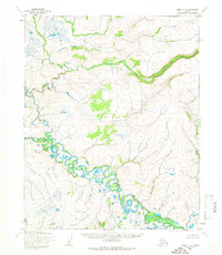
1955 · Candle D-3
USGS Topo · 1:63,360