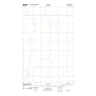
2011 Map of Cando NE
USGS Topo · Published 2011About this map
Mauvais Coulee meanders through this portion of Towner County, North Dakota, defining the low-lying drainage patterns of an otherwise strictly gridded agricultural landscape. The terrain is organized by a systematic network of section-line roads, including north-south corridors like 76th Ave NE and 72nd Ave NE, and east-west routes such as 72nd St NE. This mapping by the U.S. Geological Survey illustrates the intersection of natural hydrology with the precise geometry of the Public Land Survey System in the early twenty-first century. The presence of numerous small prairie potholes and seasonal wetlands, particularly surrounding the coulee, highlights the persistent glacial legacy that continues to influence modern rural road placement and land use in the Red River Valley hinterlands.
Find a feature on this map
13 named features on this map. Tap any name to fly to it.
Don’t see what you’re looking for? This feature index may not catch every label — zoom into the map to look around manually.
Map Details
Editions of this 2011 Cando NE Map
This is the sole edition of this map. No revisions or reprints were ever made.
Other maps of this area

1953 · Devils Lake
USGS Topo · 1:250,000

1956 · Devils Lake
USGS Topo · 1:250,000

1957 · Cando SE
USGS Topo · 1:24,000

1957 · Cando
USGS Topo · 1:24,000

1957 · Cando NE
USGS Topo · 1:24,000

1957 · Churchs Ferry
USGS Topo · 1:24,000

1957 · Webster
USGS Topo · 1:24,000

1962 · Egeland SE
USGS Topo · 1:24,000

1962 · Egeland SW
USGS Topo · 1:24,000

1962 · Starkweather
USGS Topo · 1:24,000