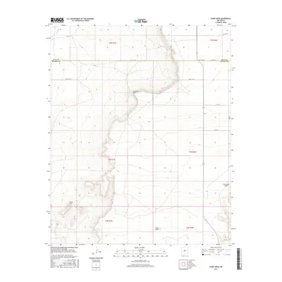
2017 Map of Candy Mesa
USGS Topo · Published 2017About this map
The arid high plains at the border of Quay and De Baca Counties characterize this topography. The intermittent waters of Truchas Cr flow through the northwest corner of the quadrangle, marking one of the few drainage features in this stretch of eastern New Mexico. The landscape is defined by its expansive mesas and subtle depressions, typical of the ranching country that spans the region. Settlement is exceptionally sparse, with the map focusing on the natural relief and the vast sections of the Public Land Survey System that govern the land ownership patterns of these open rangelands.
Find a feature on this map
1 named feature on this map. Tap any name to fly to it.
Don’t see what you’re looking for? This feature index may not catch every label — zoom into the map to look around manually.
Map Details
Editions of this 2017 Candy Mesa Map
This is the sole edition of this map. No revisions or reprints were ever made.
Other maps of this area

1954 · Fort Sumner
USGS Topo · 1:250,000

1954 · Clovis
USGS Topo · 1:250,000

1958 · Fort Sumner
USGS Topo · 1:250,000

1958 · Clovis
USGS Topo · 1:250,000

1968 · Hassell
USGS Topo · 1:24,000

1968 · Twin Mesa NW
USGS Topo · 1:24,000

1968 · Fort Sumner East
USGS Topo · 1:24,000

1968 · Candy Mesa
USGS Topo · 1:24,000

1968 · Taiban
USGS Topo · 1:24,000

1968 · Twin Mesa
USGS Topo · 1:24,000