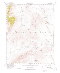
1952 Map of Cane Spring
USGS Topo · Published 1978About this map
The Nevada Test Site dominates this 1952 survey of the high desert, capturing the region just as its role in atomic research was being established. The landscape is marked by wide alluvial basins like Yucca Flat and Frenchman Flat, separated by the heights of Skull Mountain and Shoshone Mountain. Evidence of early mining history persists at the Horn Silver Mine and the desert outpost of Wahmonie, while newer infrastructure like the Mercury Highway and an Aband Landing Strip signal the arrival of the Cold War era. Water sources are sparse but critical, anchored by Cane Spring and the ephemeral Yucca Lake. The map reveals a transition from traditional prospecting to modern military technology, noted by features such as Kiwi Mesa and News Knob.
Find a feature on this map
37 named features on this map. Tap any name to fly to it.
Don’t see what you’re looking for? This feature index may not catch every label — zoom into the map to look around manually.
Map Details
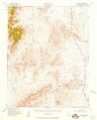
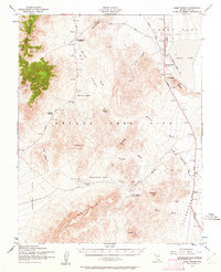
Editions of this 1952 Cane Spring Map
3 editions found
Other maps of this area

1907 · Las Vegas
USGS Topo · 1:250,000

1908 · Kawich
USGS Topo · 1:250,000

1908 · Furnace Creek
USGS Topo · 1:250,000

1908 · Las Vegas
USGS Topo · 1:250,000

1910 · Furnace Creek
USGS Topo · 1:250,000

1942 · Emigrant Valley
USGS Topo · 1:125,000

1942 · Indian Spring
USGS Topo · 1:125,000

1942 · Wheelbarrow Peak
USGS Topo · 1:125,000

1942 · Skull Mountain
USGS Topo · 1:125,000

1948 · Death Valley
USGS Topo · 1:250,000