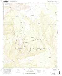
1967 Map of Cane Springs Mountain
USGS Topo · Published 1985About this map
Cane Springs Mountain dominates this interior portion of the Tonto National Forest, where the landscape is defined by a dense network of water tanks and springs essential for survival in the Gila County high country. This 1967 field-checked survey reveals the complex drainage patterns of Hardscrabble Creek and the East Verde River, which carve through prominent landforms like Deadman Mesa and Hardscrabble Mesa. The map illustrates the region's ranching and wilderness character, highlighting numerous stock tanks such as Black Jack Tank, Plowbeam Tank, and Middle Polles Tank. The southern portion of the sheet is marked by the steep relief of The Gorge and the Mazatzal Wilderness, while a web of jeep and pack trails, including the Saddle Trail, provides the primary means of navigating this dissected terrain.
Find a feature on this map
59 named features on this map. Tap any name to fly to it.
Don’t see what you’re looking for? This feature index may not catch every label — zoom into the map to look around manually.
Map Details
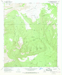
Editions of this 1967 Cane Springs Mountain Map
2 editions found
Other maps of this area

1887 · Verde
USGS Topo · 1:250,000

1892 · Verde
USGS Topo · 1:250,000

1929 · Turret Peak
USGS Topo · 1:125,000

1933 · Turret Peak
USGS Topo · 1:125,000

1934 · Pine
USGS Topo · 1:62,500

1936 · Payson
USGS Topo · 1:48,000

1940 · Pine
USGS Topo · 1:62,500

1942 · Payson
USGS Topo · 1:62,500

1952 · Pine
USGS Topo · 1:62,500

1954 · Holbrook
USGS Topo · 1:250,000