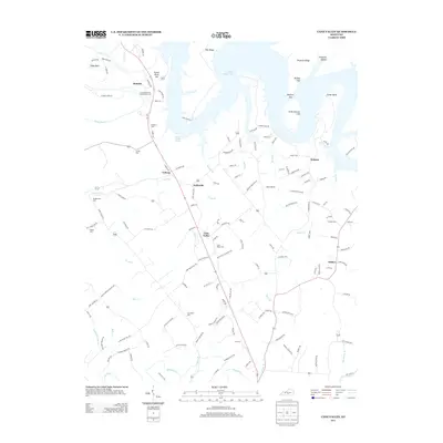
2013 Map of Cane Valley
USGS Topo · Published 2013About this map
Green River Lake dominates the northern reaches of this landscape, its fingers reaching into several hollows and creating distinctive peninsulas like Ferguson Ridge and Pike Ridge. The terrain transitions from these steep cliffs, including Buffalo Cliff and Little Bottom Cliff, into a rolling agricultural patchwork defined by small rural settlements and a dense network of country roads. Small hubs like Cane Valley, Coburg, and Kellyville are connected by routes such as Cane Valley Rd, while numerous family and community landmarks are scattered across the area.
Find a feature on this map
143 named features on this map. Tap any name to fly to it.
Don’t see what you’re looking for? This feature index may not catch every label — zoom into the map to look around manually.
Map Details
Editions of this 2013 Cane Valley Map
This is the sole edition of this map. No revisions or reprints were ever made.
Other maps of this area

1952 · Mannsville
USGS Topo · 1:24,000

1953 · Gradyville
USGS Topo · 1:24,000

1953 · Campbellsville
USGS Topo · 1:24,000

1953 · Montpelier
USGS Topo · 1:24,000

1953 · Gresham
USGS Topo · 1:24,000

1953 · Cane Valley
USGS Topo · 1:24,000

1954 · Knifley
USGS Topo · 1:24,000

1954 · Columbia
USGS Topo · 1:24,000

1954 · Greensburg
USGS Topo · 1:24,000

1957 · Winchester
USGS Topo · 1:250,000