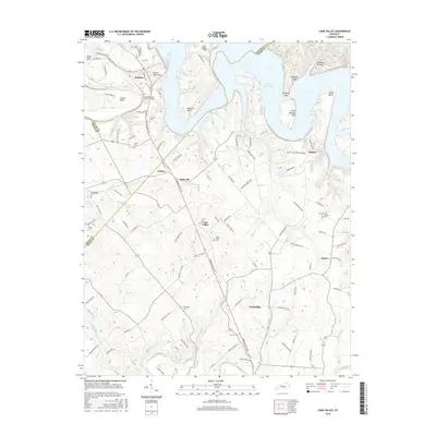
2016 Map of Cane Valley
USGS Topo · Published 2016About this map
Green River Lake dominates the northern reaches of this landscape, its fingers reaching into deep drainages like Pinch Cr and Sandy Cr. The rugged terrain is defined by dramatic river bends and cliffs, including Tibb's Bend, Buckners Bend, and the steep Buffalo Cliff overlooking the water. Away from the lake, the geography transitions into a rural patchwork of small communities like Cane Valley, Coburg, and the northern edge of Columbia, connected by a network of winding county roads such as Campbellsville Rd.
Find a feature on this map
119 named features on this map. Tap any name to fly to it.
Don’t see what you’re looking for? This feature index may not catch every label — zoom into the map to look around manually.
Map Details
Editions of this 2016 Cane Valley Map
This is the sole edition of this map. No revisions or reprints were ever made.
Other maps of this area

1952 · Mannsville
USGS Topo · 1:24,000

1953 · Gradyville
USGS Topo · 1:24,000

1953 · Campbellsville
USGS Topo · 1:24,000

1953 · Montpelier
USGS Topo · 1:24,000

1953 · Gresham
USGS Topo · 1:24,000

1953 · Cane Valley
USGS Topo · 1:24,000

1954 · Knifley
USGS Topo · 1:24,000

1954 · Columbia
USGS Topo · 1:24,000

1954 · Greensburg
USGS Topo · 1:24,000

1957 · Winchester
USGS Topo · 1:250,000