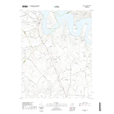
2019 Map of Cane Valley
USGS Topo · Published 2019About this map
Green River Lake dominates the northern landscape of this region where Taylor, Adair, and Green Counties meet. The terrain is defined by dramatic river features like Tibbs Bend and Buckners Bend, while the elevation rises toward Pike Ridge and the prominent Buffalo Cliff. Settlement patterns follow the winding path of Campbellsville Rd, connecting the communities of Coburg, Kellyville, and Cane Valley. This 2019 survey provides significant detail for genealogists, particularly with the inclusion of the Green River Hill Confederate Cem near Romine. Numerous family and community burial grounds are documented throughout the hills, including the Faulkner Cem and Hutchison Cem. The southern portion of the map shows the outskirts of Columbia, where the land transitions from the river bluffs toward the drainage of Russell Creek.
Find a feature on this map
123 named features on this map. Tap any name to fly to it.
Don’t see what you’re looking for? This feature index may not catch every label — zoom into the map to look around manually.
Map Details
Editions of this 2019 Cane Valley Map
This is the sole edition of this map. No revisions or reprints were ever made.
Other maps of this area

1952 · Mannsville
USGS Topo · 1:24,000

1953 · Gradyville
USGS Topo · 1:24,000

1953 · Campbellsville
USGS Topo · 1:24,000

1953 · Montpelier
USGS Topo · 1:24,000

1953 · Gresham
USGS Topo · 1:24,000

1953 · Cane Valley
USGS Topo · 1:24,000

1954 · Knifley
USGS Topo · 1:24,000

1954 · Columbia
USGS Topo · 1:24,000

1954 · Greensburg
USGS Topo · 1:24,000

1957 · Winchester
USGS Topo · 1:250,000