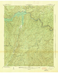
1938 Map of Caney Creek
USGS Topo · Published 1938About this map
Lake Ocoee (Parksville Reservoir) dominates the northern landscape of this 1938 survey, illustrating the infrastructure of the Tennessee Valley Authority during the late Depression era. The Ocoee River snakes through steep terrain, powering the Ocoee Power Plant No 2 and supporting industrial activity indicated by a Barge Landing. This area of the Cherokee National Forest shows a landscape in transition, where Civilian Conservation Corps operations are active at CCC Camp No 1451 and CCC Camp No 1452. Small settlements and social centers like Sylco and Vineland are mapped alongside rural educational landmarks including Fairview Sch and Blue Ridge Sch. The map provides a detailed view of the ridges and gaps, from Big Frog Mtn to Eaststep Gap, that defined travel and habitation in these mountains before modern highway development.
Find a feature on this map
65 named features on this map. Tap any name to fly to it.
Don’t see what you’re looking for? This feature index may not catch every label — zoom into the map to look around manually.
Map Details
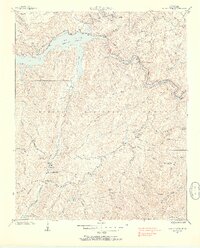
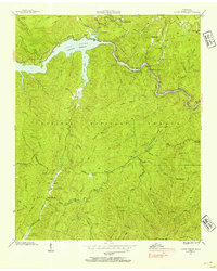
Editions of this 1938 Caney Creek Map
3 editions found
Other maps of this area

1886 · Dalton
USGS Topo · 1:125,000

1886 · Cleveland
USGS Topo · 1:125,000

1888 · Ellijay
USGS Topo · 1:125,000

1892 · Cleveland
USGS Topo · 1:125,000

1892 · Ellijay
USGS Topo · 1:125,000

1892 · Dalton
USGS Topo · 1:125,000

1893 · Murphy
USGS Topo · 1:125,000

1895 · Cleveland
USGS Topo · 1:125,000

1897 · Dalton
USGS Topo · 1:125,000

1898 · Ellijay
USGS Topo · 1:125,000