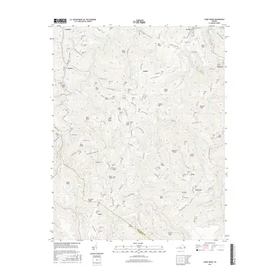
2016 Map of Caney Ridge
USGS Topo · Published 2016About this map
Darwin and the surrounding coal-country settlements of McClure and Leck characterize this 2016 survey along the border of Dickenson and Wise counties. The landscape is defined by its deep ridges and hollows, such as Cherrytree Hollow and Deadman Hollow, which have historically dictated the placement of roads and family homesteads. The transport of natural resources is evident through the presence of the Caney Tunnel and Bearpen Gap Tunnel, infrastructure built to navigate the steep topography of Caney Ridge. Numerous family burial grounds, including the Hibbitts and Salyers cemeteries, are scattered across the terrain near Cranes Nest River, providing a significant record of the local genealogy. The map also features the Caney Ridge Airport, highlighting the modern accessibility of this otherwise steeply partitioned region of the Appalachian Plateau.
Find a feature on this map
148 named features on this map. Tap any name to fly to it.
Don’t see what you’re looking for? This feature index may not catch every label — zoom into the map to look around manually.
Map Details
Editions of this 2016 Caney Ridge Map
This is the sole edition of this map. No revisions or reprints were ever made.
Other maps of this area

1886 · Grundy
USGS Topo · 1:125,000

1890 · Whitesburg
USGS Topo · 1:125,000

1890 · Grundy
USGS Topo · 1:125,000

1892 · Grundy
USGS Topo · 1:125,000

1892 · Whitesburg
USGS Topo · 1:125,000

1894 · Estillville
USGS Topo · 1:125,000

1897 · Bristol
USGS Topo · 1:125,000

1902 · Bristol
USGS Topo · 1:125,000

1912 · Pound
USGS Topo · 1:48,000

1913 · Clintwood
USGS Topo · 1:62,500