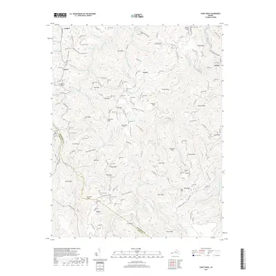
2019 Map of Caney Ridge
USGS Topo · Published 2019About this map
Caney Ridge defines the high ground of this Appalachian landscape along the border of Dickenson Co and Wise Co. The terrain is characterized by a dense network of steep fingers like Bise Ridge, Frogpond Ridge, and Porter Ridge, which separate narrow hollows and creek beds. Dozens of family-named burial grounds, such as Buchanan Cem, Stanley Cem, and Mullins Cem, are scattered across the slopes, providing a detailed record for genealogists tracing the local lineages of Omaha, Darwin, and Leck.
Find a feature on this map
155 named features on this map. Tap any name to fly to it.
Don’t see what you’re looking for? This feature index may not catch every label — zoom into the map to look around manually.
Map Details
Editions of this 2019 Caney Ridge Map
This is the sole edition of this map. No revisions or reprints were ever made.
Other maps of this area

1886 · Grundy
USGS Topo · 1:125,000

1890 · Whitesburg
USGS Topo · 1:125,000

1890 · Grundy
USGS Topo · 1:125,000

1892 · Grundy
USGS Topo · 1:125,000

1892 · Whitesburg
USGS Topo · 1:125,000

1894 · Estillville
USGS Topo · 1:125,000

1897 · Bristol
USGS Topo · 1:125,000

1902 · Bristol
USGS Topo · 1:125,000

1912 · Pound
USGS Topo · 1:48,000

1913 · Clintwood
USGS Topo · 1:62,500