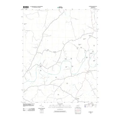
2010 Map of Canmer
USGS Topo · Published 2010About this map
The Green River meanders through Hart County, creating a landscape of dramatic bends and river islands that defined the development of local riverfront communities. Near the settlement of Canmer, the waterway forms tight curves like Thomas Bend and Sims Bend, providing natural boundaries for early farmland. The terrain is characterized by numerous knobs, such as Frenchman Knob and Grindstone Knob, which rise above the hollows and river bottomlands.
Find a feature on this map
62 named features on this map. Tap any name to fly to it.
Don’t see what you’re looking for? This feature index may not catch every label — zoom into the map to look around manually.
Map Details
Editions of this 2010 Canmer Map
This is the sole edition of this map. No revisions or reprints were ever made.
Other maps of this area

1934 · Munfordville
USGS Topo · 1:48,000

1935 · Horse Cave
USGS Topo · 1:48,000

1937 · Munfordville
USGS Topo · 1:62,500

1938 · Horse Cave
USGS Topo · 1:62,500

1953 · Hudgins
USGS Topo · 1:24,000

1953 · Munfordville
USGS Topo · 1:24,000

1953 · Magnolia
USGS Topo · 1:24,000

1953 · Center
USGS Topo · 1:24,000
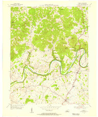
1953 · Canmer
USGS Topo · 1:24,000

1954 · Park
USGS Topo · 1:24,000