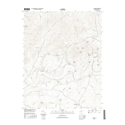
2016 Map of Canmer
USGS Topo · Published 2016About this map
The Green River carves a winding path through Hart County, creating a landscape of dramatic oxbows and islands including Thomas Bend, Woods Island, and Horseshoe Bend. This 2016 survey documents a rural Kentucky landscape defined by its karst topography, where numerous knobs like Frenchman Knob and Grindstone Knob rise above the surrounding terrain. Small crossroads and historically significant hamlets such as Canmer, Hardyville, and Hinesdale serve as the primary nodes of settlement, connected by a network of local roads including Friendship Church Rd and Shady Lane Church Rd. Local history is anchored by landmarks like the Crump Cem and evocative terrain names such as Moonshine Hollow and Rocky Hollow. The map detail captures the proximity of these communities to the river's edge, highlighting the interplay between the water's course and the established family-named landmarks like Watkins Island and Boyd Knob.
Find a feature on this map
72 named features on this map. Tap any name to fly to it.
Don’t see what you’re looking for? This feature index may not catch every label — zoom into the map to look around manually.
Map Details
Editions of this 2016 Canmer Map
This is the sole edition of this map. No revisions or reprints were ever made.
Other maps of this area

1934 · Munfordville
USGS Topo · 1:48,000

1935 · Horse Cave
USGS Topo · 1:48,000

1937 · Munfordville
USGS Topo · 1:62,500

1938 · Horse Cave
USGS Topo · 1:62,500

1953 · Hudgins
USGS Topo · 1:24,000

1953 · Munfordville
USGS Topo · 1:24,000

1953 · Magnolia
USGS Topo · 1:24,000

1953 · Center
USGS Topo · 1:24,000
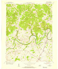
1953 · Canmer
USGS Topo · 1:24,000

1954 · Park
USGS Topo · 1:24,000