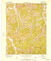
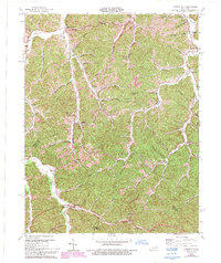
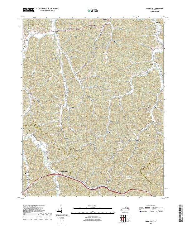
1951 Map of Cannel City
USGS Topo · Published 1952This historical map portrays the area of Cannel City in 1951, primarily covering Morgan County as well as portions of Magoffin County and Wolfe County. Featuring a scale of 1:24000, this map provides a highly detailed snapshot of the terrain, roads, buildings, counties, and historical landmarks in the Cannel City region at the time. Published in 1952, it is the sole known edition of this map.
Find a feature on this map
84 named features on this map. Tap any name to fly to it.
Don’t see what you’re looking for? This feature index may not catch every label — zoom into the map to look around manually.
Map Details
Editions of this 1951 Cannel City Map
This is the sole edition of this map. No revisions or reprints were ever made.
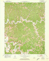
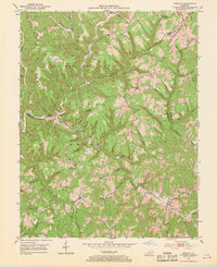
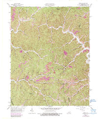
Historical Maps of Morgan County Through Time
14 maps found

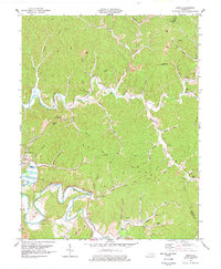
1950 Lenox
Morgan County, KY
1951 Cannel City
Morgan County, KY

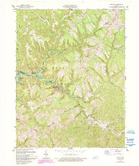
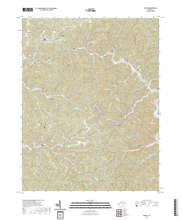
1951 Dingus
Morgan County, KY
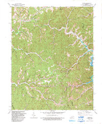
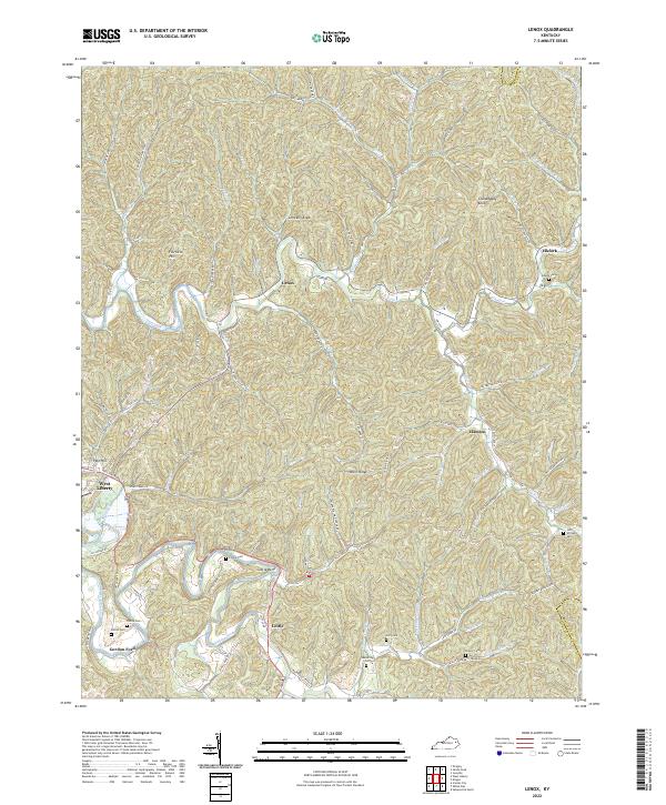
1951 Lenox
Morgan County, KY
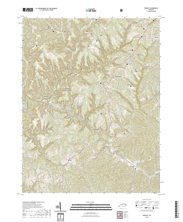
1953 Wrigley
Morgan County, KY
1962 Dingus
Morgan County, KY
1965 Cannel City
Morgan County, KY
1977 Lenox
Morgan County, KY
1977 Wrigley
Morgan County, KY
1992 Dingus
Morgan County, KY
2022 Cannel City
Morgan County, KY
2022 Dingus
Morgan County, KY
2022 Lenox
Morgan County, KY
2022 Wrigley
Morgan County, KY