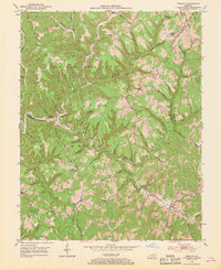
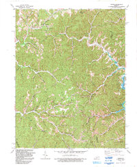
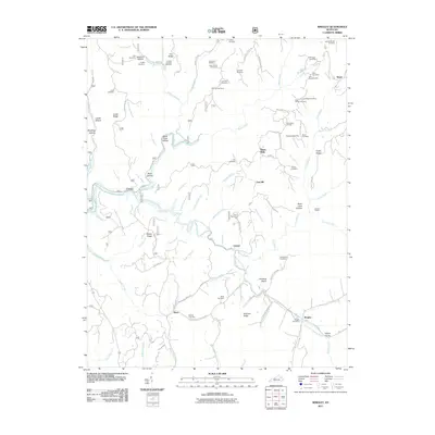
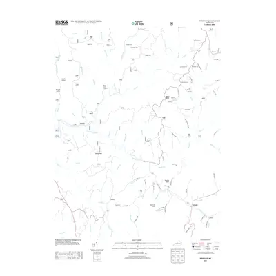
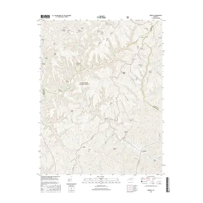
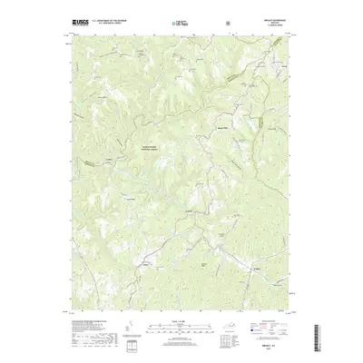
1953 Map of Wrigley
USGS Topo · Published 1968About this map
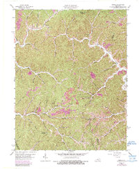
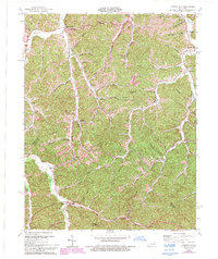
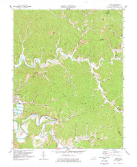
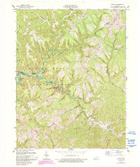
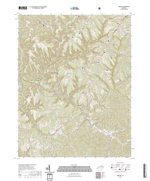
The Licking River and its North Fork carve through the heavily dissected plateau of Morgan County within the Cumberland National Forest. This 1953 field-checked survey reveals a landscape of isolated ridges and hollows, where life was historically organized around small schoolhouses and creek-side settlements. Communities like Wrigley and Blairs Mills serve as local anchors, connected by winding routes like KY 173. The map is particularly rich in family-named terrain and small rural institutions, including the Oak Grove Sch, Fraley Sch, and Big Lick Sch. Evidence of the region's topography is found in the naming of prominent landforms such as Perkins Ridge, Ditney Ridge, and Alderson Ridge, which dictate the winding paths of the numerous branches and hollows that feed into the Licking River system.
Find a feature on this map
68 named features on this map. Tap any name to fly to it.
Don’t see what you’re looking for? This feature index may not catch every label — zoom into the map to look around manually.
Map Details
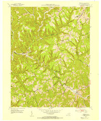
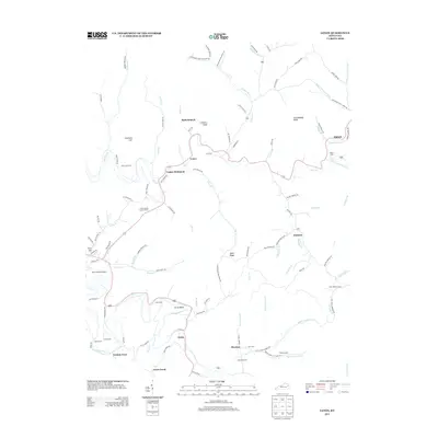
Editions of this 1953 Wrigley Map
2 editions found
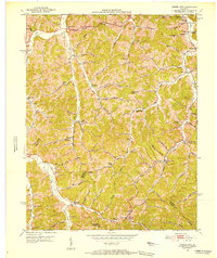
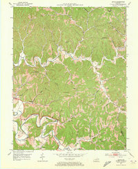
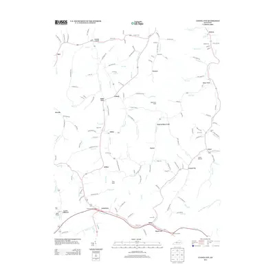
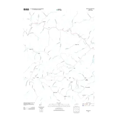
Historical Maps of Craney Through Time
30 maps found

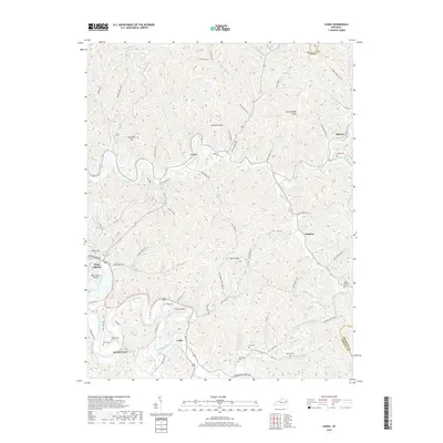
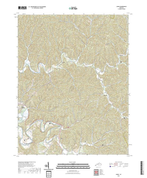
1950 Lenox
Morgan County, KY
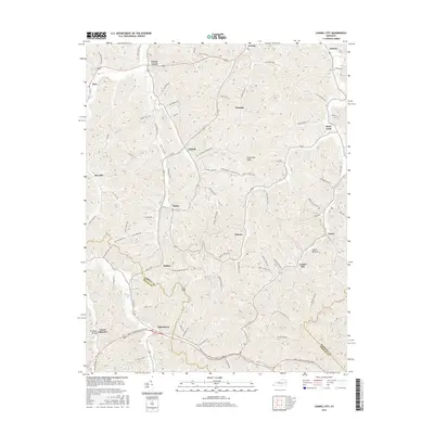
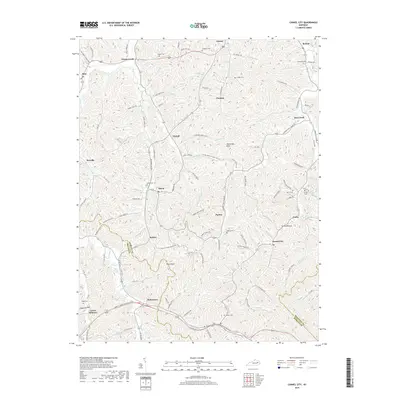
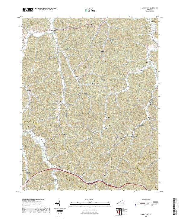
1951 Cannel City
Morgan County, KY

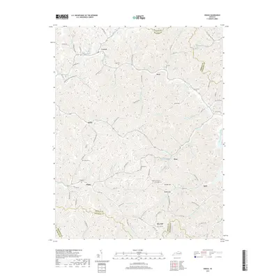
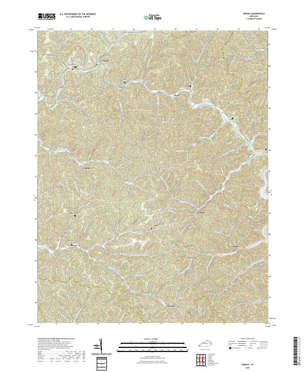
1951 Dingus
Morgan County, KY
1951 Lenox
Morgan County, KY
1953 Wrigley
Morgan County, KY
1962 Dingus
Morgan County, KY
1965 Cannel City
Morgan County, KY
1977 Lenox
Morgan County, KY
1977 Wrigley
Morgan County, KY
1992 Dingus
Morgan County, KY
2010 Cannel City
Morgan County, KY
2010 Dingus
Morgan County, KY
2010 Lenox
Morgan County, KY
2011 Wrigley
Morgan County, KY
2013 Cannel City
Morgan County, KY
2013 Dingus
Morgan County, KY
2013 Lenox
Morgan County, KY
2013 Wrigley
Morgan County, KY
2016 Cannel City
Morgan County, KY
2016 Dingus
Morgan County, KY
2016 Lenox
Morgan County, KY
2016 Wrigley
Morgan County, KY
2019 Cannel City
Morgan County, KY
2019 Dingus
Morgan County, KY
2019 Lenox
Morgan County, KY
2019 Wrigley
Morgan County, KY
2022 Cannel City
Morgan County, KY
2022 Dingus
Morgan County, KY
2022 Lenox
Morgan County, KY
2022 Wrigley
Morgan County, KY