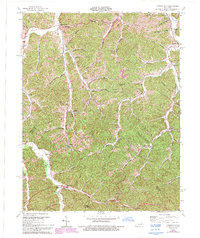
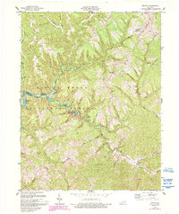
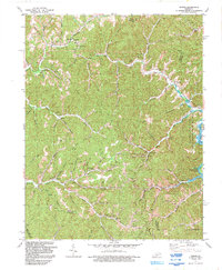
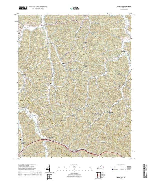
1965 Map of Cannel City
USGS Topo · Published 1993About this map
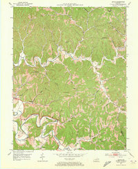
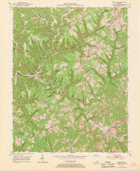
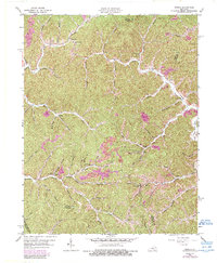
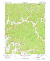
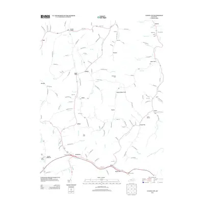
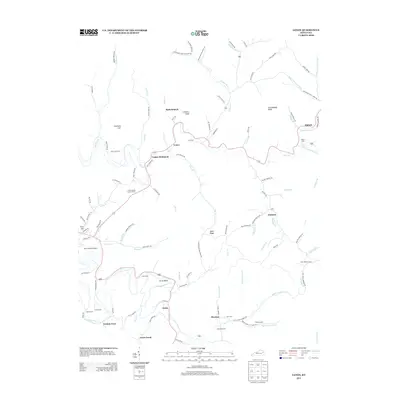
Cannel City serves as a focal point for this section of the Cumberland Plateau, where the landscape is defined by the winding tributaries of Caney Creek and the Licking River. The settlement patterns here reflect the historical importance of local post offices and rural centers, notably Salem (Buskirk PO) and Adele (Insko PO). Industrial activity is evident through the placement of Gas Well and Oil Wells across the ridges, including the prominent Tasterman Knob. The introduction of the Parkway and major hubs like the Helechawa Interchange signals a transition toward modern transportation, yet the map maintains its connection to earlier community life through institutions like South Liberty Ch, Grassy Lick Ch, and Walnut Grove Ch. Topographic details highlight the complex drainage system of branches and forks, such as Stacy Fork and Peyton Fork, that shaped the area's early development and road network.
Find a feature on this map
60 named features on this map. Tap any name to fly to it.
Don’t see what you’re looking for? This feature index may not catch every label — zoom into the map to look around manually.
Map Details
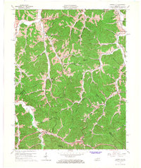
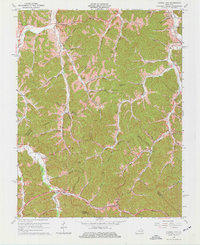
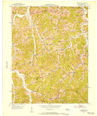
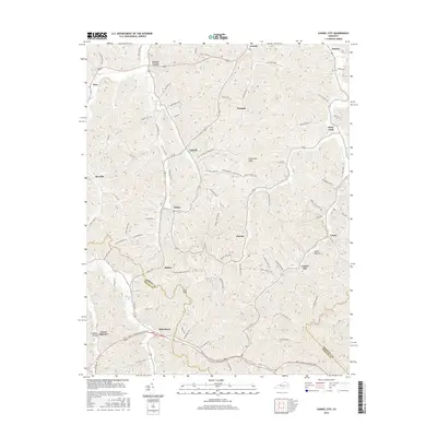
Editions of this 1965 Cannel City Map
3 editions found
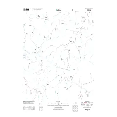
Historical Maps of Helechawa Through Time
30 maps found

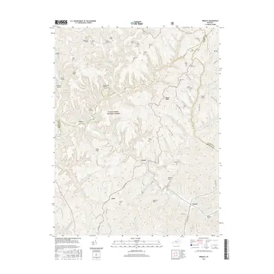
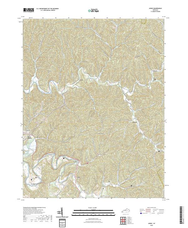
1950 Lenox
Morgan County, KY
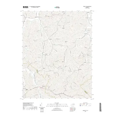
1951 Cannel City
Morgan County, KY

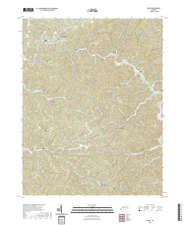
1951 Dingus
Morgan County, KY
1951 Lenox
Morgan County, KY
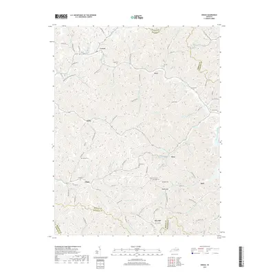
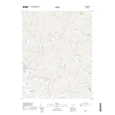
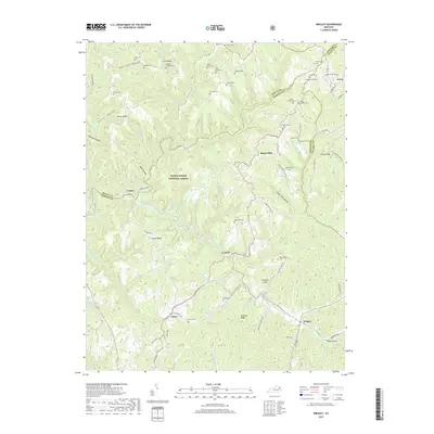
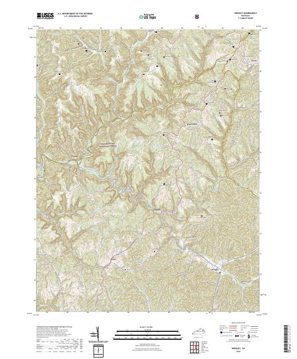
1953 Wrigley
Morgan County, KY
1962 Dingus
Morgan County, KY
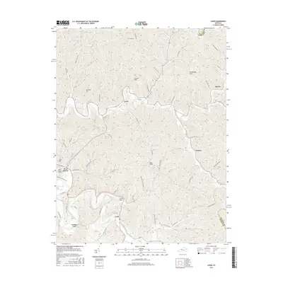
1965 Cannel City
Morgan County, KY
1977 Lenox
Morgan County, KY
1977 Wrigley
Morgan County, KY
1992 Dingus
Morgan County, KY
2010 Cannel City
Morgan County, KY
2010 Dingus
Morgan County, KY
2010 Lenox
Morgan County, KY
2011 Wrigley
Morgan County, KY
2013 Cannel City
Morgan County, KY
2013 Dingus
Morgan County, KY
2013 Lenox
Morgan County, KY
2013 Wrigley
Morgan County, KY
2016 Cannel City
Morgan County, KY
2016 Dingus
Morgan County, KY
2016 Lenox
Morgan County, KY
2016 Wrigley
Morgan County, KY
2019 Cannel City
Morgan County, KY
2019 Dingus
Morgan County, KY
2019 Lenox
Morgan County, KY
2019 Wrigley
Morgan County, KY
2022 Cannel City
Morgan County, KY
2022 Dingus
Morgan County, KY
2022 Lenox
Morgan County, KY
2022 Wrigley
Morgan County, KY