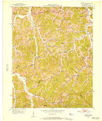
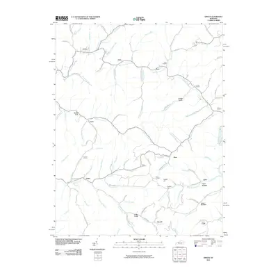
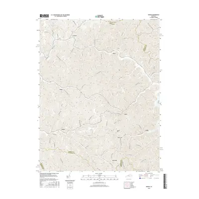
1962 Map of Dingus
USGS Topo · Published 1988About this map
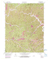
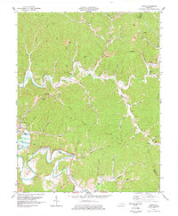
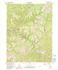
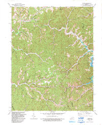
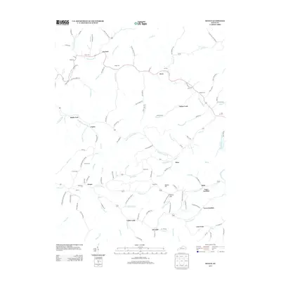
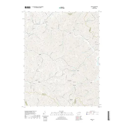
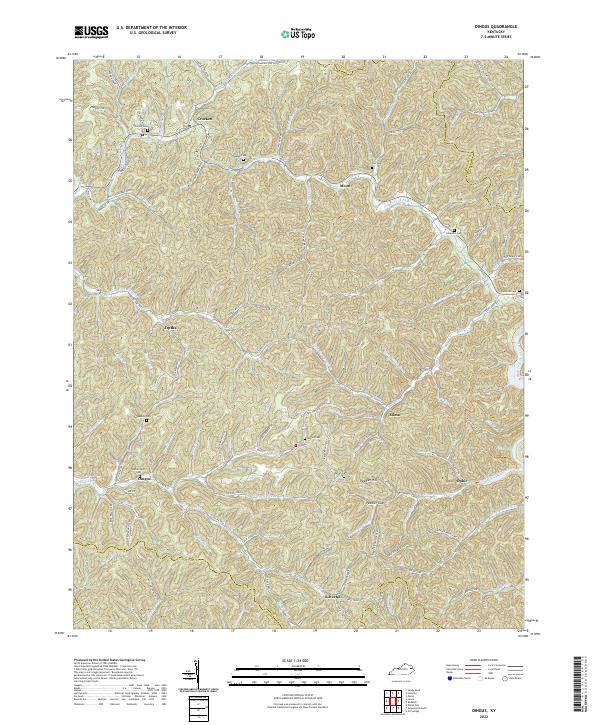
The community of Dingus serves as a central point in this part of Morgan County, where the landscape is defined by an intricate network of narrow valleys and ridges. Local life at the time centered around small settlements like Crockett, Ophir, and Silverhill, often situated near water sources such as Williams Creek and White Oak Creek. This edition includes 1970s revisions that highlight the impact of the extractive industry, specifically through the appearance of Strip Mine operations and industrial pipelines that began to cross the terrain. For the genealogist, the map preserves the locations of numerous family landmarks and local institutions, including New Salem Ch, White Oak Sch, and the Ison Cem. Unusual natural landmarks like Sulphur Spring and Peters Cave are also documented, alongside a density of rural cemeteries like the Ferguson Cem and Daniel Cem.
Find a feature on this map
50 named features on this map. Tap any name to fly to it.
Don’t see what you’re looking for? This feature index may not catch every label — zoom into the map to look around manually.
Map Details
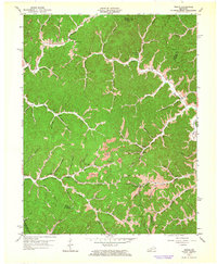
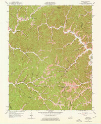
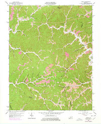
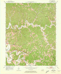
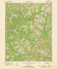
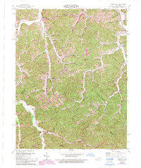
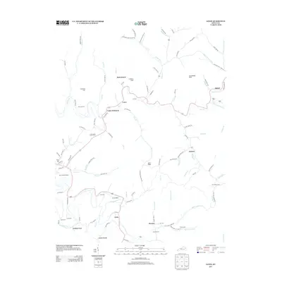
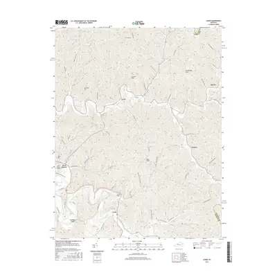
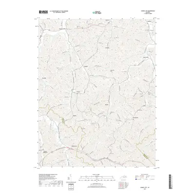
Editions of this 1962 Dingus Map
4 editions found
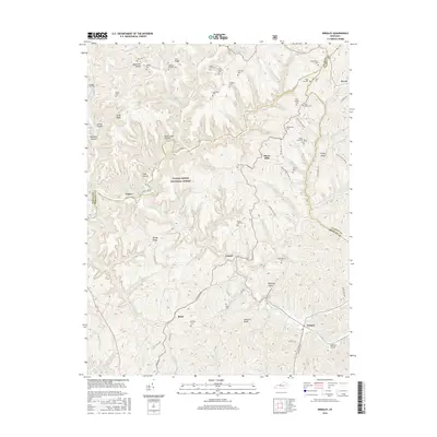
Historical Maps of Moon Through Time
30 maps found

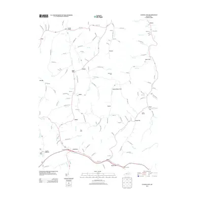
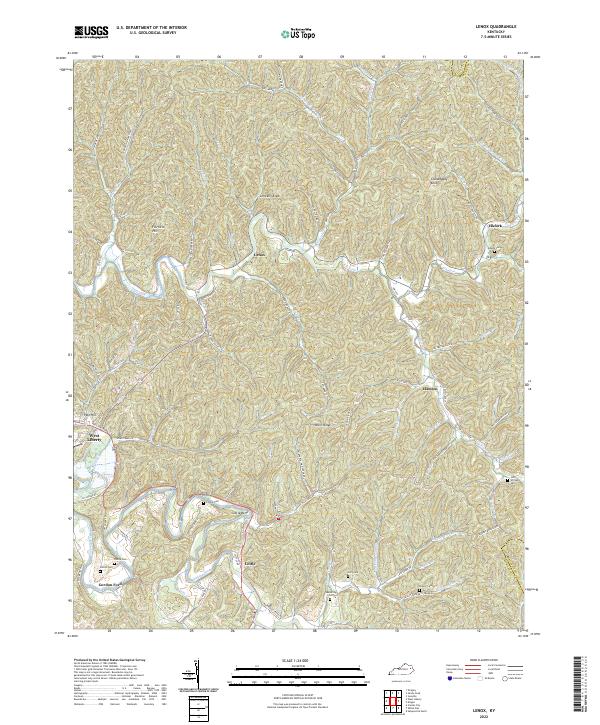
1950 Lenox
Morgan County, KY
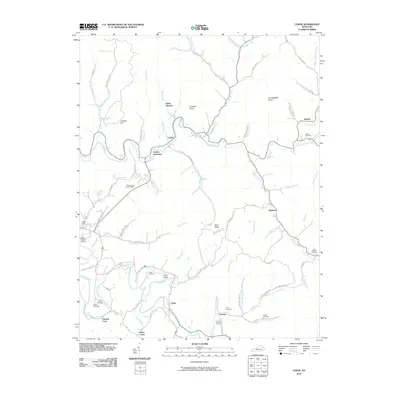
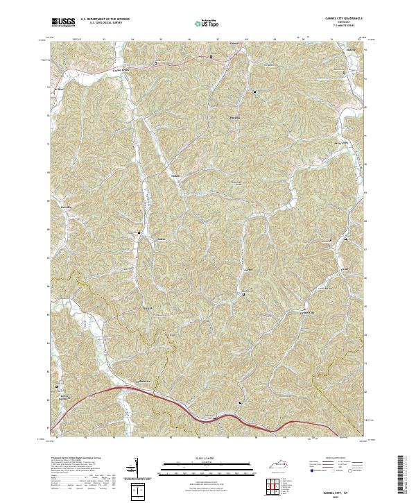
1951 Cannel City
Morgan County, KY

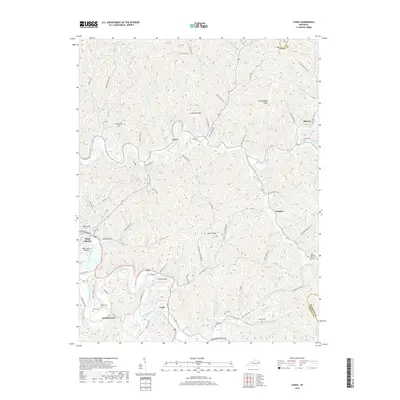
1951 Dingus
Morgan County, KY
1951 Lenox
Morgan County, KY
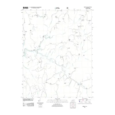
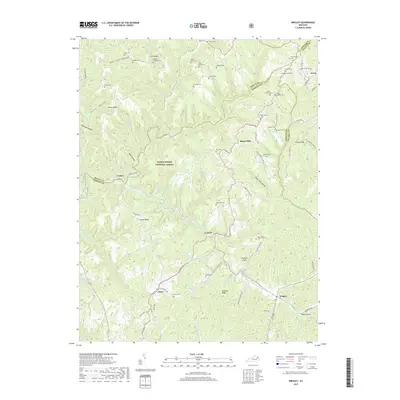
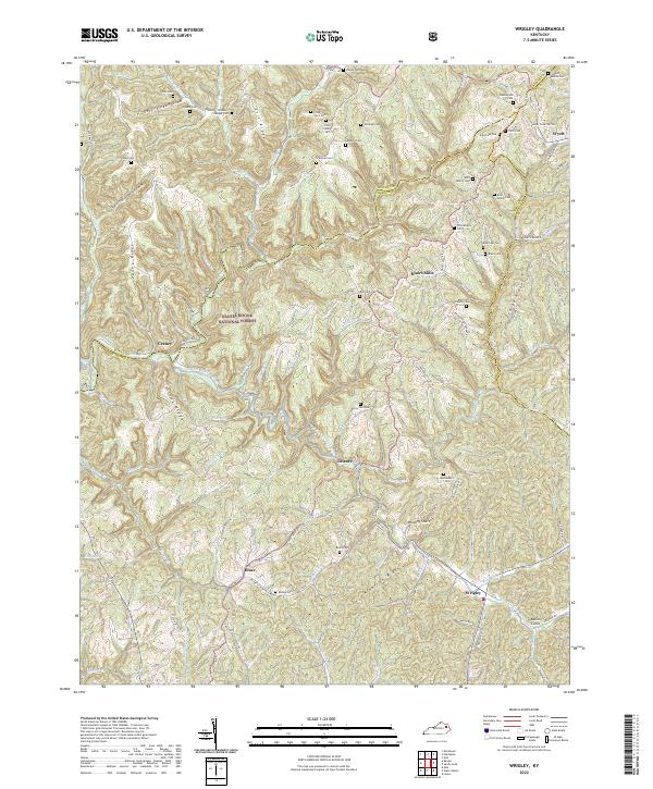
1953 Wrigley
Morgan County, KY
1962 Dingus
Morgan County, KY
1965 Cannel City
Morgan County, KY
1977 Lenox
Morgan County, KY
1977 Wrigley
Morgan County, KY
1992 Dingus
Morgan County, KY
2010 Cannel City
Morgan County, KY
2010 Dingus
Morgan County, KY
2010 Lenox
Morgan County, KY
2011 Wrigley
Morgan County, KY
2013 Cannel City
Morgan County, KY
2013 Dingus
Morgan County, KY
2013 Lenox
Morgan County, KY
2013 Wrigley
Morgan County, KY
2016 Cannel City
Morgan County, KY
2016 Dingus
Morgan County, KY
2016 Lenox
Morgan County, KY
2016 Wrigley
Morgan County, KY
2019 Cannel City
Morgan County, KY
2019 Dingus
Morgan County, KY
2019 Lenox
Morgan County, KY
2019 Wrigley
Morgan County, KY
2022 Cannel City
Morgan County, KY
2022 Dingus
Morgan County, KY
2022 Lenox
Morgan County, KY
2022 Wrigley
Morgan County, KY