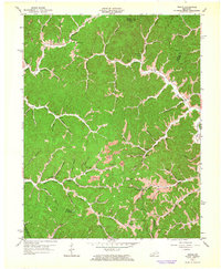
1962 Map of Dingus
USGS Topo · Published 1964About this map
Paint Creek and its myriad tributaries carve through the heart of Morgan County, shaping the clustered settlements of the early 1960s. The landscape is defined by its hollows and ridges, where small communities like Dingus and Crockett are linked by winding roads and several significant pipelines. Evidence of local industry is visible in the form of a Strip Mine and an Oil Well near Old House Branch. Genealogy researchers will find a wealth of data points, including numerous family-named burial sites such as Conley Cem and Ison Cem. Educational and spiritual life centers on landmarks like the White Oak Sch, New Salem Ch Ison Cem, and Sulphur Spring Ch. The map also captures the intricate water network of the Open Fork and Middle Fork, which dictated the early placement of homes and farmsteads in this corner of Eastern Kentucky.
Find a feature on this map
69 named features on this map. Tap any name to fly to it.
Don’t see what you’re looking for? This feature index may not catch every label — zoom into the map to look around manually.
Map Details
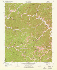
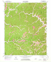
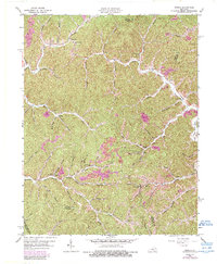
Editions of this 1962 Dingus Map
4 editions found
Other maps of this area

1886 · Prestonsburg
USGS Topo · 1:125,000

1889 · Salyersville
USGS Topo · 1:125,000

1891 · Salyersville
USGS Topo · 1:125,000

1892 · Prestonsburg
USGS Topo · 1:125,000

1899 · Salyersville
USGS Topo · 1:125,000

1903 · Kenova
USGS Topo · 1:125,000

1904 · Kenova
USGS Topo · 1:125,000

1915 · Paintsville
USGS Topo · 1:48,000

1917 · Paintsville
USGS Topo · 1:62,500

1950 · Isonville
USGS Topo · 1:24,000