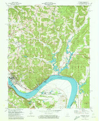
1970 Map of Cannelton
USGS Topo · Published 1972About this map
The Ohio River dominates this 1970 landscape, winding past the industrial and residential hubs of Cannelton and Hawesville. The completion of the Cannelton Locks and Dam represents a significant era of river management, while the surrounding terrain is marked by deep ridges and hollows like Goosetown Ridge and Funk Hollow. Industry is concentrated along the riverbanks, evidenced by Industrial Waste Ponds and a conveyor system near Skillman.
Find a feature on this map
74 named features on this map. Tap any name to fly to it.
Don’t see what you’re looking for? This feature index may not catch every label — zoom into the map to look around manually.
Map Details
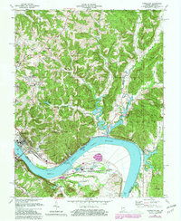
Editions of this 1970 Cannelton Map
2 editions found
Other maps of this area

1900 · St Meinrad
USGS Topo · 1:62,500

1903 · St. Meinrad
USGS Topo · 1:62,500

1903 · Tell City
USGS Topo · 1:62,500

1934 · Cannelton
USGS Topo · 1:62,500

1949 · Cannelton
USGS Topo · 1:24,000

1953 · Cannelton
USGS Topo · 1:24,000

1953 · Cloverport
USGS Topo · 1:24,000

1953 · Tell City
USGS Topo · 1:24,000
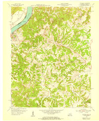
1953 · Mattingly
USGS Topo · 1:24,000
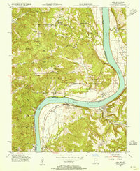
1953 · Rome
USGS Topo · 1:24,000