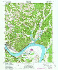
1970 Map of Cannelton
USGS Topo · Published 1981About this map
The Ohio River carves a massive bend through this borderland between Indiana and Kentucky, anchored by the significant engineering of the Cannelton Locks and Dam. On the northern bank, the industrial character of Cannelton is evident, while across the water in Kentucky, the Louisville and Nashville railroad tracks follow the river's curve through Hawesville. The landscape is a complex network of ridges and hollows, such as Chilton Hill and Funk Hollow, which separate the river valley from the expansive Hoosier National Forest to the northeast. Cultural landmarks like St Michaels Ch and the Log Church (Site) suggest layers of local history, while modern additions like the Drive-in Theater near McCallister Hill and the Lincoln Tr Br (Toll) show the area's mid-century development. In Kentucky, the presence of Industrial Waste Ponds and an Aeration Pond near Skillman points to the heavy industry established along the river flats.
Find a feature on this map
70 named features on this map. Tap any name to fly to it.
Don’t see what you’re looking for? This feature index may not catch every label — zoom into the map to look around manually.
Map Details
Editions of this 1970 Cannelton Map
2 editions found
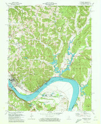
Other maps of this area

1900 · St Meinrad
USGS Topo · 1:62,500

1903 · St. Meinrad
USGS Topo · 1:62,500

1903 · Tell City
USGS Topo · 1:62,500

1934 · Cannelton
USGS Topo · 1:62,500

1949 · Cannelton
USGS Topo · 1:24,000

1953 · Cannelton
USGS Topo · 1:24,000

1953 · Cloverport
USGS Topo · 1:24,000

1953 · Tell City
USGS Topo · 1:24,000
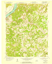
1953 · Mattingly
USGS Topo · 1:24,000
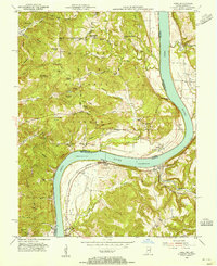
1953 · Rome
USGS Topo · 1:24,000