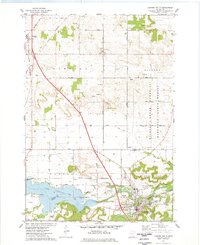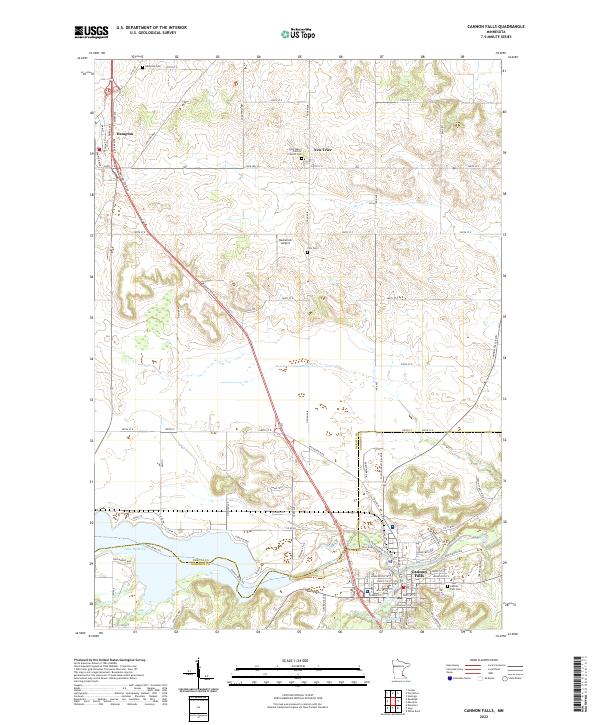
2022 Map of Cannon Falls
USGS Topo · Published 2022About this map
Cannon Falls and the agricultural lands of Dakota and Goodhue counties are documented here in detail, centered on the convergence of the Cannon River and the Little Cannon River. The southern landscape is shaped by significant water bodies like Lake Byllesby and Lake Fredrickson, which define the local recreation and drainage patterns. The map captures the long-established settlements of Hampton and New Trier, where the Saint Mary's Catholic Church and its associated Cem serve as central community landmarks.
Find a feature on this map
55 named features on this map. Tap any name to fly to it.
Don’t see what you’re looking for? This feature index may not catch every label — zoom into the map to look around manually.
Map Details
Editions of this 2022 Cannon Falls Map
This is the sole edition of this map. No revisions or reprints were ever made.