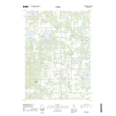
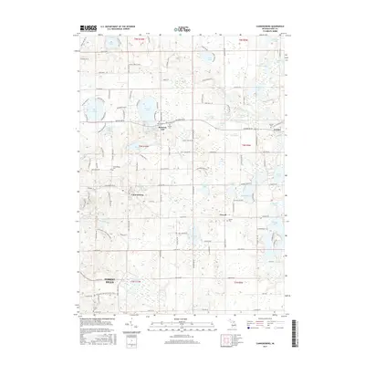
2023 Map of Cannonsburg
USGS Topo · Published 2023About this map
Bostwick Lake and its surrounding settlement anchor this 2023 survey of Kent County, Michigan, where the landscape is defined by a dense cluster of glacial kettle lakes and small rural communities. The map highlights established centers like Cannonsburg and Parnell, alongside numerous historical cemeteries that serve as vital records for local genealogy, including Saint Patrick Cem and the Old Belding Cem. The land use pattern reflects a mix of residential growth and preserved spaces, such as the Farm Service Agency Interest of Michigan area. Large water bodies like Murray Lake and Big Crooked Lake are connected by a grid of rural roads, such as Belding Rd NE and 10 Mile Rd NE, illustrating how modern infrastructure follows the township and range lines established long ago in the t8n r10w and t9n r9w sections.
Find a feature on this map
91 named features on this map. Tap any name to fly to it.
Don’t see what you’re looking for? This feature index may not catch every label — zoom into the map to look around manually.
Map Details
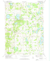
Editions of this 2023 Cannonsburg Map
This is the sole edition of this map. No revisions or reprints were ever made.
Historical Maps of Ada Township Through Time
6 maps found
Featured Locations
- Courtland Township, MI
- Vergennes Township, MI
- Ada Township, MI
- Cannon Township, MI
- Grattan, Grattan Township