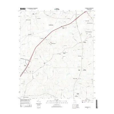
2014 Map of Cannonville
USGS Topo · Published 2014About this map
LaGrange and its southeastern rural extensions are the focal point of this 2014 survey, illustrating the modern development patterns of Troup County. Residential growth is evident in communities like Maplecreek Hills, Parkway Estates, and Federal Hills, while the agricultural character of the region is preserved at Gray Hill and Smiths Crossroad. The landscape is defined by the drainage of Flat Shoal Creek and Long Cane Cr, which wind through the Piedmont terrain toward the West Point vicinity. Genealogists will find a high density of small rural burial grounds including Bethel Cem, Lebanon Cem, and Fannin Cem. This edition captures the infrastructure of the early 21st century, from the Grayhill Airport to the various crossroads that have historically anchored this portion of Georgia, such as Baughs Crossroads and Jones Crossroads.
Find a feature on this map
97 named features on this map. Tap any name to fly to it.
Don’t see what you’re looking for? This feature index may not catch every label — zoom into the map to look around manually.
Map Details
Editions of this 2014 Cannonville Map
This is the sole edition of this map. No revisions or reprints were ever made.
Other maps of this area

1899 · Wedowee
USGS Topo · 1:125,000

1902 · Wedowee
USGS Topo · 1:125,000

1907 · Talbotton
USGS Topo · 1:125,000

1907 · Opelika
USGS Topo · 1:125,000

1909 · Opelika
USGS Topo · 1:125,000

1953 · Atlanta
USGS Topo · 1:250,000

1955 · Phenix City
USGS Topo · 1:250,000

1957 · Phenix City
USGS Topo · 1:250,000

1957 · Atlanta
USGS Topo · 1:250,000

1958 · Phenix City
USGS Topo · 1:250,000