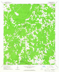
1964 Map of Cannonville
USGS Topo · Published 1965About this map
Gray Hill and several rural crossroads define this 1960s landscape in Troup County, where a network of ridge-running roads connects family-named landmarks and country churches. The map captures a moment of transition between traditional agricultural settlement and modern infrastructure, evidenced by the proximity of Lebanon Ch and Mt Zion Ch to a prominent Pumping Station and large Pipeline corridor. The eastern half is dominated by the winding course of Long Cane Creek, while the southern reaches feature the wider waters of Flat Shoal Creek and the Eagle Club Lake. Genealogists will find significant value in the detailed placement of family cemeteries such as McCallay Cem and Linebarker Cem, alongside established rural communities like Smiths Crossroads and Baughs Crossroads.
Find a feature on this map
64 named features on this map. Tap any name to fly to it.
Don’t see what you’re looking for? This feature index may not catch every label — zoom into the map to look around manually.
Map Details
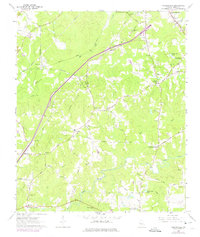
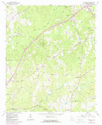
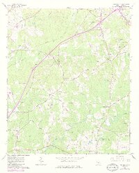
Editions of this 1964 Cannonville Map
4 editions found
Other maps of this area

1899 · Wedowee
USGS Topo · 1:125,000

1902 · Wedowee
USGS Topo · 1:125,000

1907 · Talbotton
USGS Topo · 1:125,000

1907 · Opelika
USGS Topo · 1:125,000

1909 · Opelika
USGS Topo · 1:125,000

1953 · Atlanta
USGS Topo · 1:250,000

1955 · Phenix City
USGS Topo · 1:250,000

1957 · Phenix City
USGS Topo · 1:250,000

1957 · Atlanta
USGS Topo · 1:250,000

1958 · Phenix City
USGS Topo · 1:250,000