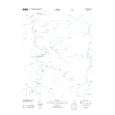
2013 Map of Canoe
USGS Topo · Published 2013About this map
The Middle Fork Kentucky River and the N Fork Kentucky River carve through the deep hollows of Breathitt County, anchoring a landscape of isolated settlements and ancestral burial grounds. This 2013 survey reveals the enduring rural character of the region, where family names are etched into the terrain at sites like Hounshell Cem, Butterpoint Cem, and the White and Francis Cem. The presence of Beech P O and Curt P O highlights the historic importance of postal stops in coordinating life across these complex drainage networks.
Find a feature on this map
115 named features on this map. Tap any name to fly to it.
Don’t see what you’re looking for? This feature index may not catch every label — zoom into the map to look around manually.
Map Details
Editions of this 2013 Canoe Map
This is the sole edition of this map. No revisions or reprints were ever made.
Other maps of this area

1889 · Salyersville
USGS Topo · 1:125,000

1891 · Manchester
USGS Topo · 1:125,000

1891 · Hazard
USGS Topo · 1:125,000

1891 · Salyersville
USGS Topo · 1:125,000

1892 · Beattyville
USGS Topo · 1:125,000

1899 · Salyersville
USGS Topo · 1:125,000

1913 · Buckhorn
USGS Topo · 1:62,500

1951 · Quicksand
USGS Topo · 1:24,000

1951 · Jackson
USGS Topo · 1:24,000

1952 · Tallega
USGS Topo · 1:24,000