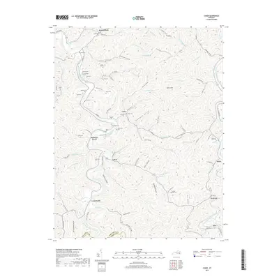
2019 Map of Canoe
USGS Topo · Published 2019About this map
Middle Fork Kentucky River snakes through the center of this landscape, anchoring small settlements like Canoe and Sebastians Branch. The topographic detail reveals a network of hollows and ridges, such as Onionpen Hollow and Jackson Hollow, where family life and community history are recorded in numerous small burial grounds. Genealogists can find the Elisha Gross Cem, Hounshell Cem, and Herald Cem tucked away near local watercourses. To the south, the North Fork Kentucky River clips the corner of the map near Altro, while the village of Wolf Coal sits along the Wolf Creek. The intricate drainage pattern of Shoulderblade Creek and Bowling Creek illustrates the complex geography of the Breathitt and Perry county line.
Find a feature on this map
109 named features on this map. Tap any name to fly to it.
Don’t see what you’re looking for? This feature index may not catch every label — zoom into the map to look around manually.
Map Details
Editions of this 2019 Canoe Map
This is the sole edition of this map. No revisions or reprints were ever made.
Other maps of this area

1889 · Salyersville
USGS Topo · 1:125,000

1891 · Manchester
USGS Topo · 1:125,000

1891 · Hazard
USGS Topo · 1:125,000

1891 · Salyersville
USGS Topo · 1:125,000

1892 · Beattyville
USGS Topo · 1:125,000

1899 · Salyersville
USGS Topo · 1:125,000

1913 · Buckhorn
USGS Topo · 1:62,500

1951 · Quicksand
USGS Topo · 1:24,000

1951 · Jackson
USGS Topo · 1:24,000

1952 · Tallega
USGS Topo · 1:24,000