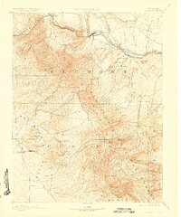
1892 Map of Canon City
USGS Topo · Published 1926About this map
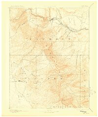
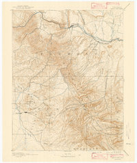
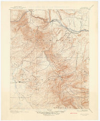
Grand Canyon of the Arkansas and the narrow passage of the Royal Gorge dominate the northern terrain of this 1889 survey, where the Atchison Topeka and Santa Fe Railroad and the Denver and Rio Grande Railroad follow the river corridor through Canon City. To the south, the industrial landscape of the late nineteenth century is defined by the silver mining districts of the Wet Mountain Valley. Here, the prominent settlements of Silver Cliff and Westcliffe stand near significant operations like the Bull Domingo Mine. The map captures the region during a period of intense extraction and transport, detailing the cluster of coal-related towns such as Rockvale, Coal Creek, and Florence along the Arkansas River valley. Peaks like Mt Tyndall and Mt Herring overlook the mining camps of Rosita and Querida, providing a clear record of the high-altitude settlement patterns in Custer and Fremont counties.
Find a feature on this map
50 named features on this map. Tap any name to fly to it.
Don’t see what you’re looking for? This feature index may not catch every label — zoom into the map to look around manually.
Map Details
Editions of this 1892 Canon City Map
8 editions found
Other maps of this area

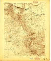
1889 · Canon City
USGS Topo · 1:125,000

1889 · Huerfano Park
USGS Topo · 1:125,000

1891 · Walsenburg
USGS Topo · 1:125,000

1891 · Pueblo
USGS Topo · 1:125,000

1892 · Huerfano Park
USGS Topo · 1:125,000

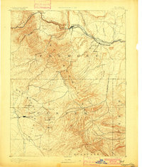
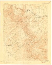
1892 · Canon City
USGS Topo · 1:125,000

1893 · Colorado Springs
USGS Topo · 1:125,000

1894 · Pikes Peak
USGS Topo · 1:125,000

1894 · Walsenburg
USGS Topo · 1:125,000

1894 · Pueblo
USGS Topo · 1:125,000