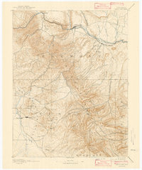
1892 Map of Canon City
USGS Topo · Published 1943About this map
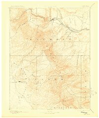
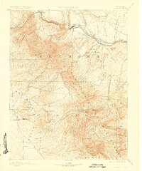
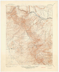
The Grand Canyon of the Arkansas defines the northern reaches of this territory, where the Arkansas River carves through the Royal Gorge near Canon City. This landscape reveals a late 19th-century industrial hub driven by the dual engines of mining and heavy rail. In the south, the Wet Mountain Valley serves as a high-altitude basin for the silver mining settlements of Silver Cliff and Westcliffe.
Find a feature on this map
50 named features on this map. Tap any name to fly to it.
Don’t see what you’re looking for? This feature index may not catch every label — zoom into the map to look around manually.
Map Details
Editions of this 1892 Canon City Map
8 editions found
Other maps of this area

1889 · Canon City
USGS Topo · 1:125,000

1889 · Huerfano Park
USGS Topo · 1:125,000

1891 · Walsenburg
USGS Topo · 1:125,000

1891 · Pueblo
USGS Topo · 1:125,000

1892 · Huerfano Park
USGS Topo · 1:125,000

1892 · Canon City
USGS Topo · 1:125,000

1893 · Colorado Springs
USGS Topo · 1:125,000

1894 · Pikes Peak
USGS Topo · 1:125,000

1894 · Walsenburg
USGS Topo · 1:125,000

1894 · Pueblo
USGS Topo · 1:125,000