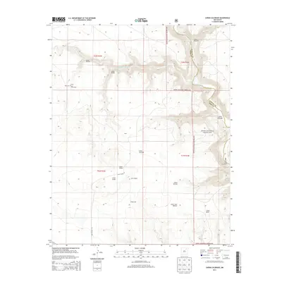
2013 Map of Canon Colorado
USGS Topo · Published 2013About this map
Kiowa National Grassland dominates this high-plains landscape where the Canadian River cuts through the high desert of the Southwest. The terrain is defined by a dense network of drainages and canyons, including Cañon Colorado, Cañon Juan Maestas, and Cañon Monnet. These topographic features reflect a history of ranching and land use in a region where water access is seasonal, visible in the winding path of the Arroyo Piedra Lumbre.
Find a feature on this map
24 named features on this map. Tap any name to fly to it.
Don’t see what you’re looking for? This feature index may not catch every label — zoom into the map to look around manually.
Map Details
Editions of this 2013 Canon Colorado Map
This is the sole edition of this map. No revisions or reprints were ever made.
Other maps of this area

1892 · Watrous
USGS Topo · 1:125,000

1894 · Watrous
USGS Topo · 1:125,000

1954 · Santa Fe
USGS Topo · 1:250,000

1954 · Raton
USGS Topo · 1:250,000

1958 · Raton
USGS Topo · 1:250,000

1958 · Santa Fe
USGS Topo · 1:250,000

1964 · Stony Lake
USGS Topo · 1:24,000

1964 · Alto De Hormiga
USGS Topo · 1:24,000

1964 · Alamosa Creek
USGS Topo · 1:24,000

1971 · Abbott Lake
USGS Topo · 1:24,000