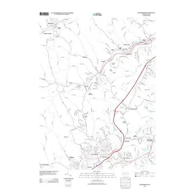
2013 Map of Canonsburg
USGS Topo · Published 2013About this map
Canonsburg serves as the focal point of this 2013 survey, surrounded by a dense network of industrial and residential developments in Washington County. The landscape is defined by the winding course of Chartiers Creek and its tributaries, which have historically shaped the settlement patterns of towns like Strabane and Weavertown. The map illustrates the region's transition from early mining and agricultural roots into a modern suburban corridor, evidenced by the extensive road networks connecting Donaldsons Crossroads and Hendersonville.
Find a feature on this map
282 named features on this map. Tap any name to fly to it.
Don’t see what you’re looking for? This feature index may not catch every label — zoom into the map to look around manually.
Map Details
Editions of this 2013 Canonsburg Map
This is the sole edition of this map. No revisions or reprints were ever made.
Other maps of this area

1901 · Amity
USGS Topo · 1:62,500

1904 · Amity
USGS Topo · 1:62,500

1904 · Carnegie
USGS Topo · 1:62,500

1904 · Burgettstown
USGS Topo · 1:62,500

1906 · Burgettstown
USGS Topo · 1:62,500

1906 · Carnegie
USGS Topo · 1:62,500

1907 · Claysville
USGS Topo · 1:62,500

1908 · Carnegie
USGS Topo · 1:62,500
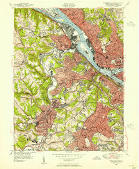
1948 · Pittsburgh West
USGS Topo · 1:24,000
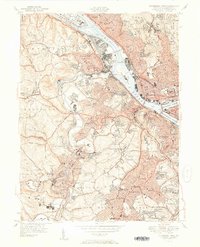
1951 · Pittsburgh West
USGS Topo · 1:24,000