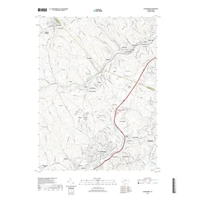
2019 Map of Canonsburg
USGS Topo · Published 2019About this map
Canonsburg and its surrounding borough developments of Houston and Strabane anchor the southern portion of this landscape, where Chartiers Creek winds through a valley defined by significant residential growth and established industrial roots. To the north, the transition into Cecil and McDonald reveals a terrain carved by the Mohawk Valley and Robinson Run, reflecting the area's history of coal extraction, noted by Maude Mine Rd.
Find a feature on this map
88 named features on this map. Tap any name to fly to it.
Don’t see what you’re looking for? This feature index may not catch every label — zoom into the map to look around manually.
Map Details
Editions of this 2019 Canonsburg Map
This is the sole edition of this map. No revisions or reprints were ever made.
Other maps of this area

1901 · Amity
USGS Topo · 1:62,500

1904 · Amity
USGS Topo · 1:62,500

1904 · Carnegie
USGS Topo · 1:62,500

1904 · Burgettstown
USGS Topo · 1:62,500

1906 · Burgettstown
USGS Topo · 1:62,500

1906 · Carnegie
USGS Topo · 1:62,500

1907 · Claysville
USGS Topo · 1:62,500

1908 · Carnegie
USGS Topo · 1:62,500
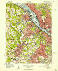
1948 · Pittsburgh West
USGS Topo · 1:24,000
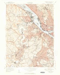
1951 · Pittsburgh West
USGS Topo · 1:24,000