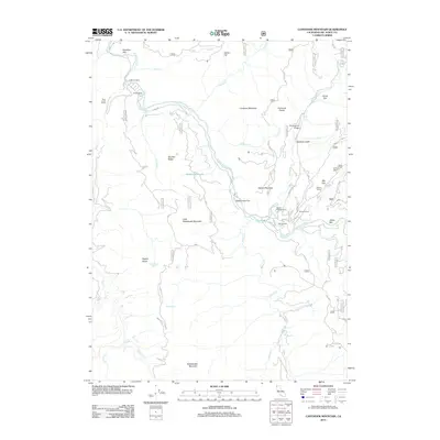
2012 Map of Canthook Mountain
USGS Topo · Published 2012About this map
The S Fork Smith River carves a deep path through this remote stretch of Del Norte County, anchoring a landscape defined by isolated homesteads and high ridgelines. Early 21st-century topography reveals a cluster of family-named sites such as Wilson Ranch, Stevens Ranch, and Alma Ranch concentrated near the river’s confluence with Hurdygurdy Cr. This network of ranches and flats, including Rattlesnake Flat and Big Flat, suggests a long history of riparian settlement and land use in a region dominated by steep timberlands.
Find a feature on this map
64 named features on this map. Tap any name to fly to it.
Don’t see what you’re looking for? This feature index may not catch every label — zoom into the map to look around manually.
Map Details
Editions of this 2012 Canthook Mountain Map
This is the sole edition of this map. No revisions or reprints were ever made.
Other maps of this area

1922 · Preston Peak
USGS Topo · 1:125,000

1929 · Crescent City
USGS Topo · 1:125,000

1945 · Ship Mountain
USGS Topo · 1:62,500

1945 · Gasquet
USGS Topo · 1:62,500

1945 · Point St. George
USGS Topo · 1:62,500

1945 · Requa
USGS Topo · 1:62,500

1948 · Weed
USGS Topo · 1:250,000

1949 · Eureka
USGS Topo · 1:250,000

1950 · Weed
USGS Topo · 1:250,000

1951 · Gasquet
USGS Topo · 1:62,500