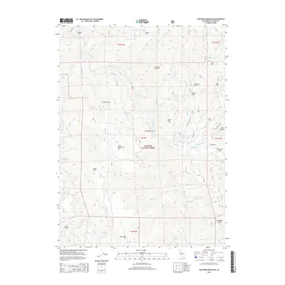
2015 Map of Canthook Mountain
USGS Topo · Published 2015About this map
Six Rivers National Forest dominates this section of Del Norte County, where the South Fork Smith River carves a deep path through the Klamath Mountains. The landscape is defined by its dramatic elevation changes, from the riverside flats of Indian Bar and Blackhawk Bar up to the high peaks of Canthook Mountain and Hardin Mtn. The hydrology of the region is intricate, featuring high-altitude water sources like Rattlesnake Lake, Pigeon Roost Spring, and Mud Spring.
Find a feature on this map
45 named features on this map. Tap any name to fly to it.
Don’t see what you’re looking for? This feature index may not catch every label — zoom into the map to look around manually.
Map Details
Editions of this 2015 Canthook Mountain Map
This is the sole edition of this map. No revisions or reprints were ever made.
Other maps of this area

1922 · Preston Peak
USGS Topo · 1:125,000

1929 · Crescent City
USGS Topo · 1:125,000

1945 · Ship Mountain
USGS Topo · 1:62,500

1945 · Gasquet
USGS Topo · 1:62,500

1945 · Point St. George
USGS Topo · 1:62,500

1945 · Requa
USGS Topo · 1:62,500

1948 · Weed
USGS Topo · 1:250,000

1949 · Eureka
USGS Topo · 1:250,000

1950 · Weed
USGS Topo · 1:250,000

1951 · Gasquet
USGS Topo · 1:62,500