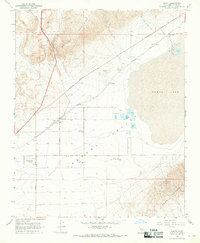
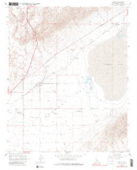
1967 Map of Cantil
USGS Topo · Published 1969About this map
The arid floor of the Fremont Valley is the focal point of this 1960s survey, illustrating a landscape defined by salt harvesting and desert transit. The massive Koehn Lake bed dominates the eastern portion, marked by salt evaporators and Salt Well, supporting the small settlement at Saltdale. The Southern Pacific railroad cuts a diagonal path through the valley, connecting locations like Ceneda, Gypsite, and Cantil, where a Red Rock Sch and a Historical Monument are noted.
Find a feature on this map
28 named features on this map. Tap any name to fly to it.
Don’t see what you’re looking for? This feature index may not catch every label — zoom into the map to look around manually.
Map Details
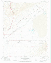
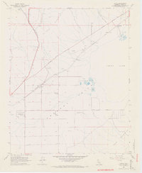
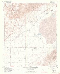
Editions of this 1967 Cantil Map
5 editions found
Other maps of this area

1915 · Searles Lake
USGS Topo · 1:250,000

1915 · Mojave
USGS Topo · 1:125,000

1943 · Cross Mountain
USGS Topo · 1:62,500

1943 · Saltdale
USGS Topo · 1:62,500

1943 · Castle Butte
USGS Topo · 1:62,500

1943 · Mojave
USGS Topo · 1:62,500

1947 · Castle Butte
USGS Topo · 1:50,000

1947 · Trona
USGS Topo · 1:250,000

1948 · Trona
USGS Topo · 1:250,000

1948 · Bakersfield
USGS Topo · 1:250,000