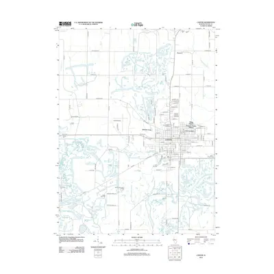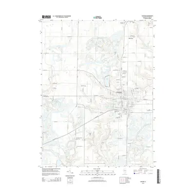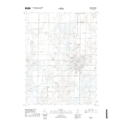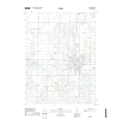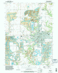
1995 Map of Canton
USGS Topo · Published 1996About this map
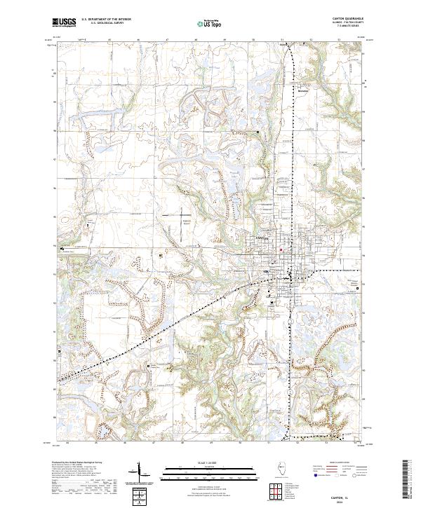
The industrial and civic character of Canton and its northern neighbors, Norris and Brereton, is defined by a landscape extensively shaped by the coal industry. Expansive Strip Mine Areas dominate the northern and eastern reaches, having permanently altered the terrain into a series of ridge-and-valley patterns and small, isolated water bodies. At the heart of the community, Canton's street grid reflects its growth as a regional hub, featuring essential local institutions like Graham Hospital, Canton City Hall, and Spoon River Jr College. This mid-1990s survey also details the local aviation and correctional infrastructure, including Ingersoll Airport and the Illinois River State Correctional Center situated on the western outskirts. For genealogists and local historians, the sheet preserves the locations of numerous family and church burial grounds, from the large Greenwood Cemetery to the smaller Johnson Cem and Moore Cem. situated near the headwaters of Lost Grove Creek.
Find a feature on this map
61 named features on this map. Tap any name to fly to it.
Don’t see what you’re looking for? This feature index may not catch every label — zoom into the map to look around manually.
Map Details
Editions of this 1995 Canton Map
This is the sole edition of this map. No revisions or reprints were ever made.
Historical Maps of Canton Through Time
8 maps found