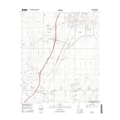
2015 Map of Canton
USGS Topo · Published 2015About this map
Canton anchors this Madison County landscape, where urban grid patterns meet the meandering paths of Bear Creek and Batchelor Creek. This 2015 record captures the area's development along the Interstate 55 corridor, showing the growth of Gluckstadt and the industrial activity near Ballard. The map is particularly rich for genealogical research, documenting numerous small community burial grounds and houses of worship. Notable sites include the Old Madison Presbyterian Cem and the Priestley Chapel Missionary Baptist Church Cem.
Find a feature on this map
68 named features on this map. Tap any name to fly to it.
Don’t see what you’re looking for? This feature index may not catch every label — zoom into the map to look around manually.
Map Details
Editions of this 2015 Canton Map
This is the sole edition of this map. No revisions or reprints were ever made.
Other maps of this area

1903 · Jackson
USGS Topo · 1:125,000

1905 · Jackson
USGS Topo · 1:48,000

1908 · Jackson
USGS Topo · 1:62,500

1922 · Pelahatchee
USGS Topo · 1:48,000

1924 · Pelahatchee
USGS Topo · 1:62,500

1950 · Pelahatchie
USGS Topo · 1:62,500

1952 · Pelahatchie
USGS Topo · 1:62,500

1953 · Meridian
USGS Topo · 1:250,000

1955 · Jackson
USGS Topo · 1:250,000

1957 · Meridian
USGS Topo · 1:250,000